Wootton
Located in Bedford, England Coordinates: 52°05′38″ N 0°32′48″ W
- Elevation
- 67 m
- above sea level
- Local time
- UTC+00:00
- Europe/London · UTC+00:00
- Places inside
- 8
- listed under Wootton
About Wootton
Wootton is a municipality. Location: Bedford, England. Elevation: 67 m.
In comparison
- Nearest larger town: Wootton, 1 km E
- 25 sights and natural places within 10 km Eastcotts Motte, Stewartby Lake
- Listed here: Neighbourhood: 4, Village: 3, Historic site: 1
Places in Wootton
8 places-
Wootton Village4.3K
-
Bott End Neighbourhood
-
Church End Neighbourhood
-
Eastcotts Motte Historic site
-
Hall End Village
-
Keeley Green Neighbourhood
-
Mount Pleasant Neighbourhood
-
Wood End Village
Nearby attractions & nature
Everything nearby-
Stewartby Lake Lake, England2.7 km S
-
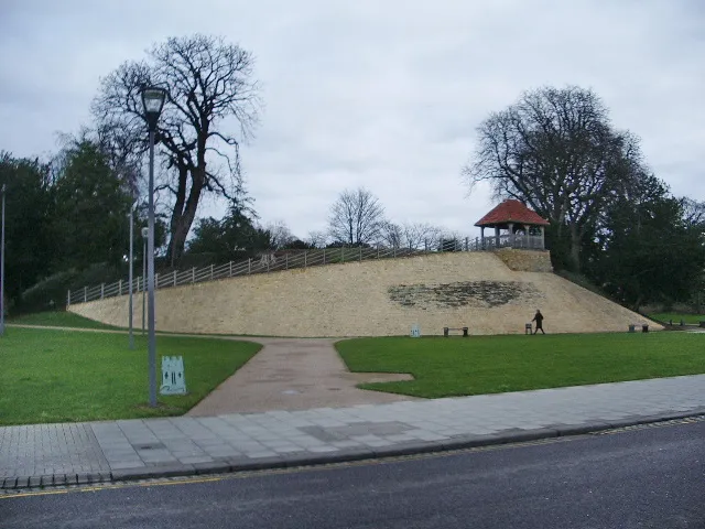 Bedford Castle Historic site, Bedford7.3 km NE
-
Bird Island Island, Marston Moretaine3.6 km S
-
Kempston Mediumwave Transmitter Landmark, Kempston4.2 km E
-
County bridge Landmark, Bedford6.7 km NE
-
Hillersdon House Historic site, Elstow5.8 km NE
-
Elstow Abbey Attraction, Elstow5.8 km NE
-
Moot Hall Museum, Elstow5.9 km NE
Sources & licences
Data last updated: