Bransdale
Located in England, United Kingdom Coordinates: 54°21′00″ N 1°03′00″ W
- Elevation
- 216 m
- above sea level
- Local time
- UTC+00:00
- Europe/London · UTC+00:00
About Bransdale
Bransdale is a natural site. Location: England, United Kingdom.
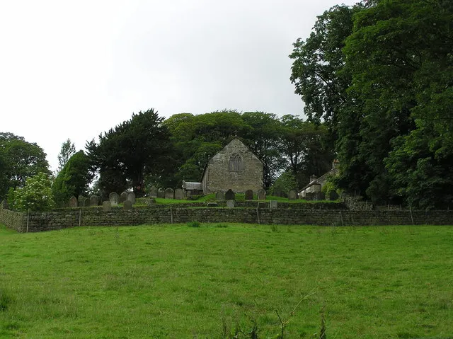
Bransdale is a valley running south through North Yorkshire, England, and part of the North York Moors National Park. Sandwiched between Bilsdale to the west and Farndale to the east, it is formed from the dales of Bransdale itself at the top of the valley, Sleightholmedale and Kirkdale. It carries a river called Hodge Beck en route from Cockayne to the River Dove from Farndale three miles (4.8 km) of Kirkbymoorside, which runs on into the Vale of Pickering and the River Rye.
Read more on Wikipedia Text: Wikipedia contributors · CC BY-SA 4.0 · shortened
In comparison
- 15 sights and natural places within 10 km Birk Nab, Farndale
Nearest towns and villages
-
Bransdale Village, Ryedale District2 km NE
-
Farndale West Village, Ryedale District3.4 km NE
-
Bilsdale Village, Bilsdale Midcable5.2 km NW
-
Pockley Village, Ryedale District4.8 km S
-
Farndale East Village, Ryedale District5.5 km NE
-
Bilsdale Midcable Village, Hambleton6.2 km NW
Nearby attractions & nature
Everything nearby-
Birk Nab Mountain, Pockley4.3 km S
-
Farndale Natural site, England4.7 km NE
-
Rievaulx Moor Mountain, Rievaulx5.7 km SW
-
Bilsdale Natural site, England5.7 km W
-
Boon Hill Mountain, Gillamoor6.1 km SE
-
Riccal Dale Natural site, England7.5 km S
-
Urra Moor - Round Hill Mountain, Ingleby Greenhow6.7 km N
-
Cleveland Hills Mountain, England7.7 km N
Sources & licences
Data last updated: · 2 independent sources