Kuggar
Located in Grade-Ruan, Cornwall Coordinates: 50°00′13″ N 5°10′37″ W
- Elevation
- 67 m
- above sea level
- Local time
- UTC+00:00
- Europe/London · UTC+00:00
About Kuggar
Kuggar is a village. Location: Grade-Ruan, Cornwall. Elevation: 67 m.
Kuggar (Cornish: Koger) is a hamlet in the parish of Grade-Ruan in Cornwall, England. Kuggar, within the Cornwall Area of Outstanding Natural Beauty (AONB), lies off the A3083 road, between the villages of St Ruan and Gwendreath.
Read more on Wikipedia Text: Wikipedia contributors · CC BY-SA 4.0 · shortened
In comparison
- Nearest larger town: Ruan Minor, 1 km S
- 18 sights and natural places within 10 km The Island, The Lizard
Nearby attractions & nature
Everything nearby-
The Island Island, Grade-Ruan1.9 km S
-
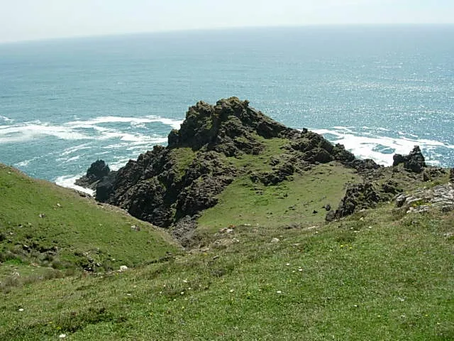 Vellan Head Natural site, England5.7 km SW
-
Lizard DGPS-Transmitter Landmark, Landewednack5.1 km S
-
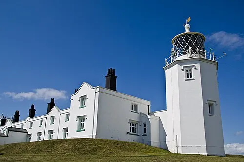 Lizard Lighthouse Landmark, Landewednack5.2 km S
-
The Lizard Natural site, England4.4 km S
-
Housel Bay Natural site, Landewednack4.9 km S
Sources & licences
Data last updated: · 2 independent sources