Crows-an-Wra
Local name: Krows an Wragh
Located in St. Buryan, Cornwall Coordinates: 50°05′29″ N 5°38′35″ W
- Elevation
- 126 m
- above sea level
- Local time
- UTC+00:00
- Europe/London · UTC+00:00
About Crows-an-Wra
Crows-an-Wra is a village. Location: St. Buryan, Cornwall. Elevation: 126 m.
Crows-an-Wra (Cornish: Krows an Wragh, meaning the witch's cross) is a hamlet in West Cornwall, England, United Kingdom. It is situated in the civil parish of St Buryan, Lamorna and Paul approximately four miles (6 km) northeast of Land's End.
Read more on Wikipedia Text: Wikipedia contributors · CC BY-SA 4.0 · shortened
In comparison
- Nearest larger town: St Just, 4 km NW
- 35 sights and natural places within 10 km Carn Brea, Boscawen-un Stone Circle
Nearby attractions & nature
Everything nearby-
Carn Brea Mountain, St. Just1 km W
-
Boscawen-un Stone Circle Historic site, St. Buryan1.7 km E
-
Bartinney Downs Mountain, St. Just1.7 km N
-
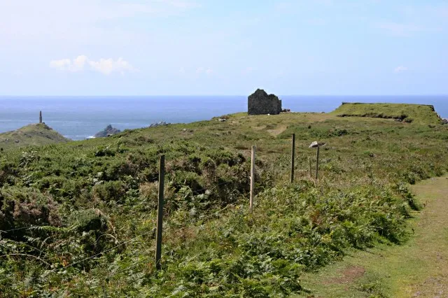 Kemijack Historic site, St. Just6.5 km NW
-
Cowloe Island, Cornwall4.8 km W
-
Deveral Common Mountain, Sancreed3.5 km N
Sources & licences
Data last updated: · 2 independent sources