Caradon Hill
Located in St. Cleer, Cornwall Coordinates: 50°30′41″ N 4°26′15″ W
- Elevation
- 371 m
- above sea level
- Local time
- UTC+00:00
- Europe/London · UTC+00:00
About Caradon Hill
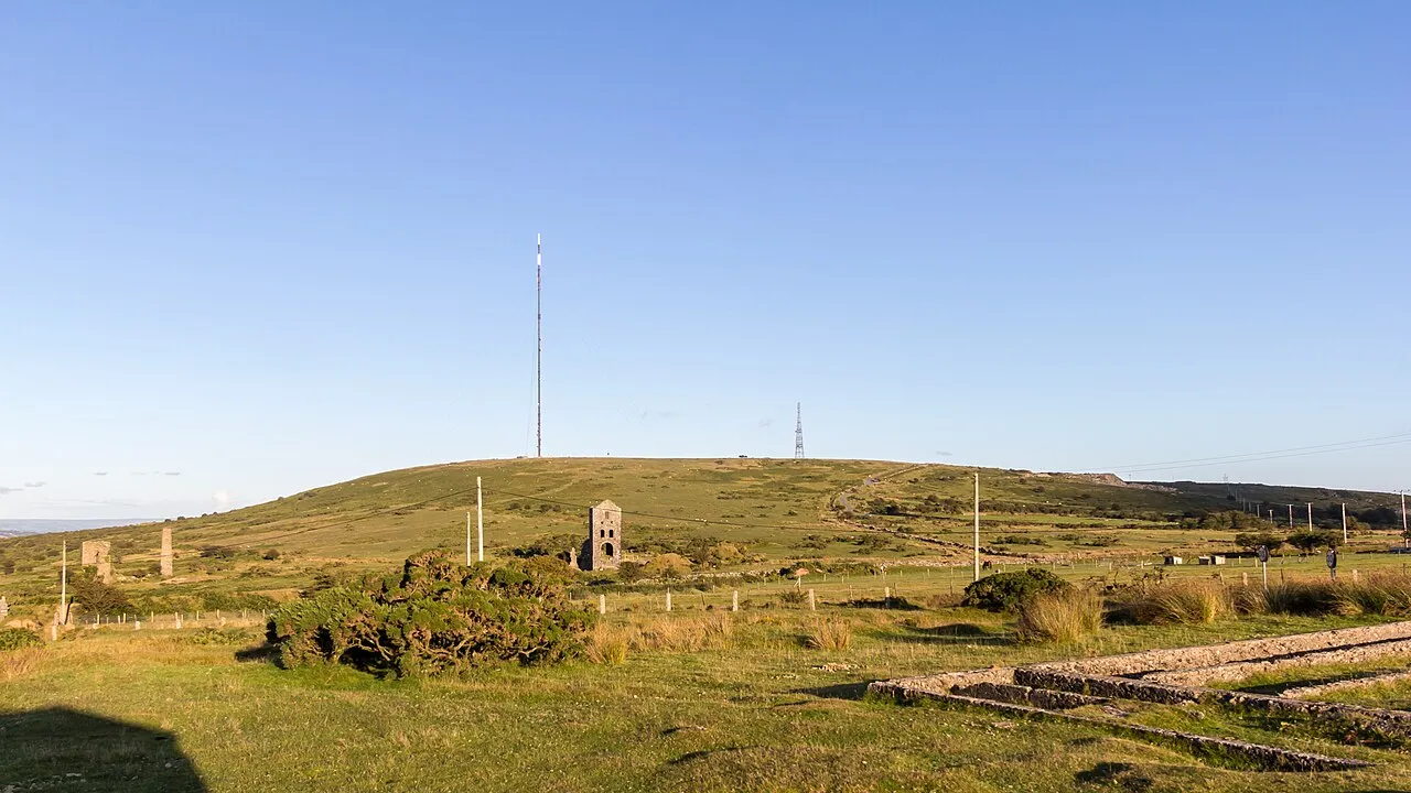
Caradon Hill is a mountain. Location: St. Cleer, Cornwall. Elevation: 371 m.
Caradon Hill (Cornish: Bre Garn) is on Bodmin Moor in the former Caradon district of Cornwall, England, United Kingdom. The summit is 371 metres (1,217 ft) above mean sea level. Caradon Hill is on the southeastern edge of the moor; it is between the villages of Minions (northwest), Upton Cross (northeast), Pensilva (southeast) and Darite (southwest). The hill was once famous for its copper mines but these are now closed.
Read more on Wikipedia Text: Wikipedia contributors · CC BY-SA 4.0 · shortened
In comparison
- No. 7940 of 18223 mountains in United Kingdom by elevation
- 20 sights and natural places within 10 km Caradon Hill Transmitting Station, Stowe's Hill
Nearest towns and villages
-
Pensilva Village, St. Ive1.9 km SE
-
Gonamena Village, St. Cleer1 km SW
-
Downgate Village, Linkinhorne0.9 km E
-
Crow's Nest Village, St. Cleer1.7 km SW
-
Minions Village, Linkinhorne1.1 km NW
-
Higher Tremarcoombe Village, St. Cleer2.6 km SW
Nearby attractions & nature
Everything nearby-
Caradon Hill Transmitting Station Landmark, Linkinhorne0.1 km E
-
Stowe's Hill Mountain, Linkinhorne2.3 km NW
-
Notter Tor Mountain, Linkinhorne3 km N
-
Langstone Downs Mountain, Linkinhorne3.5 km NW
-
Kilmar Tor Mountain, Linkinhorne4.6 km NW
-
Keason Hill Mountain, St. Ive4.8 km SE
-
Newel Tor Mountain, St. Cleer5 km NW
-
Gormain Hill Mountain, St. Cleer5.4 km SW
Sources & licences
Data last updated: · 2 independent sources