St. Dominick
Located in Cornwall, England Coordinates: 50°29′03″ N 4°15′39″ W
- Elevation
- 153 m
- above sea level
- Local time
- UTC+00:00
- Europe/London · UTC+00:00
- Places inside
- 5
- listed under St. Dominick
About St. Dominick
St. Dominick is a municipality. Location: Cornwall, England. Elevation: 153 m.
In comparison
- Nearest larger town: Calstock, 4 km E
- 24 sights and natural places within 10 km Viverdon Down, River Tamar
- Listed here: Village: 5
Places in St. Dominick
5 places-
Ashton Village
-
Bohetherick Village
-
Burraton Village
-
Cross Village
-
Saint Dominick Village
Nearby attractions & nature
Everything nearby-
Viverdon Down Mountain, St. Mellion1.6 km W
-
Kernock Hill Mountain, Pillaton4.1 km SW
-
River Tamar River, England3.7 km SE
-
Kit Hill Mountain, Stokeclimsland4.6 km NW
-
Cadson Bury Mountain, St. Ive5.4 km W
-
Quarry Cross Mountain, Bere Ferrers6 km E
-
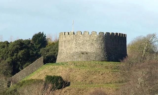 Trematon Castle Historic site, Saltash9.5 km S
-
Morewelldown Mountain, Gulworthy7.1 km NE
Sources & licences
Data last updated: