St. Gennys
Located in Cornwall, England Coordinates: 50°44′13″ N 4°36′35″ W
- Elevation
- 96 m
- above sea level
- Local time
- UTC+00:00
- Europe/London · UTC+00:00
- Places inside
- 12
- listed under St. Gennys
About St. Gennys
St. Gennys is a municipality. Location: Cornwall, England. Elevation: 96 m.
In comparison
- Nearest larger town: Widemouth Bay, 7 km NE
- 21 sights and natural places within 10 km Castle Point, Bynorth Cliff
- Listed here: Village: 10, Mountain: 2
Places in St. Gennys
12 places-
Bynorth Cliff Mountain
-
Castle Point Mountain
-
Coxford Village
-
Crackington Haven Village
-
Higher Crackington Village
-
Hill Village
-
Lower Crackington Village
-
Middle Crackington Village
-
Pencuke Village
-
Rosecare Village
-
Saint Gennys Village
-
Tresmorn Village
Nearby attractions & nature
Everything nearby-
Cambeak Natural site, England2.9 km W
-
Tregole Hill Mountain, Poundstock3.7 km E
-
Tresparrett Down Mountain, St Juliot4 km SW
-
Bude Bay Natural site, United Kingdom3.5 km N
-
Penhalt Cliff Mountain, Poundstock5 km NE
-
Gull Rock Mountain, St Juliot5.1 km SW
-
Poundstock Castle Historic site, Poundstock5.1 km NE
-
Buckator Beach Beach, St Juliot5.3 km SW
Other cities and towns in Cornwall
-
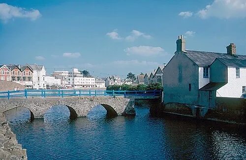 Bude Town, Bude-Stratton11 km NE
-
Warbstow Municipality, Cornwall6.3 km SE
-
Lesnewth Municipality, Cornwall7.1 km S
-
Forrabury and Minster Municipality, Cornwall9 km SW
-
Week St. Mary Municipality, Cornwall8.3 km E
-
Treneglos Municipality, Cornwall8.8 km SE
Sources & licences
Data last updated: