St. Gluvias
Located in Cornwall, England Coordinates: 50°11′12″ N 5°07′07″ W
- Elevation
- 92 m
- above sea level
- Local time
- UTC+00:00
- Europe/London · UTC+00:00
- Places inside
- 3
- listed under St. Gluvias
About St. Gluvias
St. Gluvias is a municipality. Location: Cornwall, England. Elevation: 92 m.
In comparison
- Nearest larger town: Ponsanooth, 2 km NW
- 29 sights and natural places within 10 km Kennal Valley, Curclew House Ruins
- Listed here: Village: 3
Places in St. Gluvias
3 places-
Ponsanooth Village967
-
Burnthouse Village
-
Lower Treluswell Village
Nearby attractions & nature
Everything nearby-
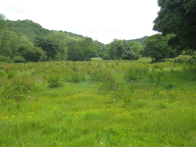 Kennal Valley Natural site, Perranarworthal1.6 km NW
-
Curclew House Ruins Historic site, Mylor2.2 km NE
-
Pellynwartha Hill Mountain, Perranarworthal2.7 km NW
-
Rame Common Mountain, Wendron5.4 km SW
-
Tregew Hill Mountain, Mylor3.6 km SE
-
Carn Marth Mountain, Lanner7.4 km NW
-
Mylor Creek River, England4.9 km E
-
Trelease Hill Mountain, Kea8.3 km NE
Sources & licences
Data last updated: