Tregeseal
Located in St. Just, Cornwall Coordinates: 50°07′44″ N 5°40′24″ W
- Elevation
- 108 m
- above sea level
- Local time
- UTC+00:00
- Europe/London · UTC+00:00
About Tregeseal
Tregeseal is a village. Location: St. Just, Cornwall. Elevation: 108 m.
Tregeseal (from Cornish: Tregashel, meaning "Catihael's settlement") is a hamlet in a valley 0.72 miles (1.16 km) northeast of the town of St Just, Cornwall, UK and is within the parish of St Just. Nearby is Tregeseal East stone circle grid reference SW 38236 31869. Tregeseal lies within the Cornwall Area of Outstanding Natural Beauty (AONB); almost a third of Cornwall has AONB designation, with the same status and protection as a National Park.
Read more on Wikipedia Text: Wikipedia contributors · CC BY-SA 4.0 · shortened
In comparison
- Nearest larger town: St Just, 1 km SW
- 30 sights and natural places within 10 km Cape Cornwall, Kemijack
Nearby attractions & nature
Everything nearby-
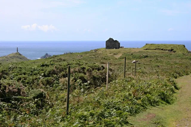 Kemijack Historic site, St. Just2.2 km W
-
Cape Cornwall Natural site, Cornwall2 km W
-
Botallack Head Natural site, England2.7 km NW
-
The Brisons Island, England3.4 km SW
-
Bartinney Downs Mountain, St. Just3.2 km SE
-
Boswens Common Mountain, Sancreed2.7 km E
Sources & licences
Data last updated: · 2 independent sources