Par
Located in Tywardreath and Par, Cornwall Coordinates: 50°21′04″ N 4°42′10″ W
- Population
- 9,462
- 9.5K
- Elevation
- 3 m
- above sea level
- Local time
- UTC+00:00
- Europe/London · UTC+00:00
About Par
Par is a town. Location: Tywardreath and Par, Cornwall. Population: 9,462. Elevation: 3 m.
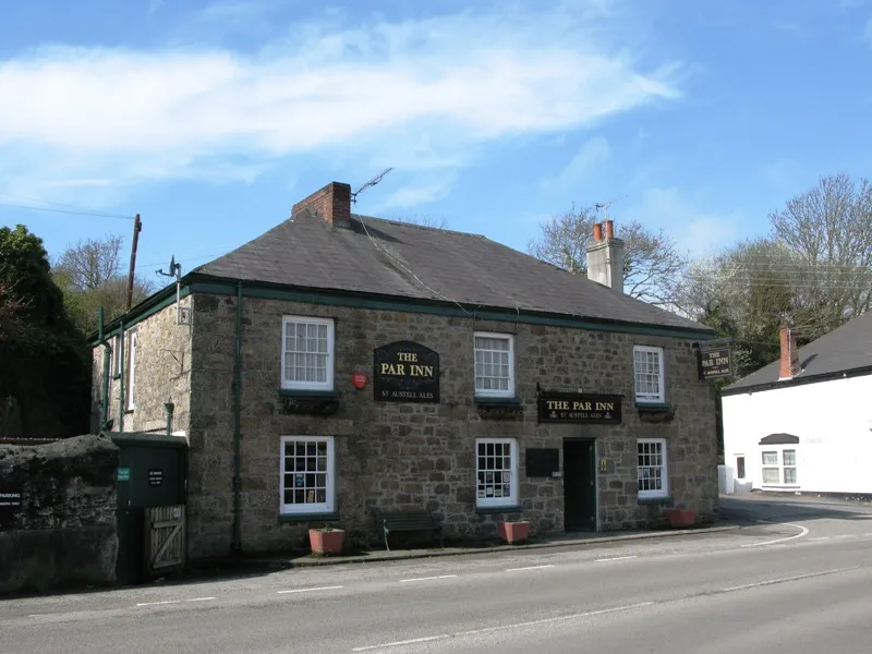
Par (Cornish: Porth, meaning creek or harbour) is a village and fishing port with a harbour on the south coast of Cornwall, England, United Kingdom. The village is situated in the civil parish of Tywardreath and Par, although West Par and the docks lie in the parish of St Blaise. Par is approximately 3.5 miles (5.6 km) east of St Austell. Par has a population of around 1,600 (in 2012).
Read more on Wikipedia Text: Wikipedia contributors · CC BY-SA 4.0 · shortened
In comparison
- Nearest larger town: St Austell, 5 km W
- 45 sights and natural places within 10 km Pengall Hill, Castle Dore Hill
Nearby attractions & nature
Everything nearby-
Eden Project Attraction, St. Blaise3.2 km W
-
Pengall Hill Mountain, Luxulyan2.6 km NW
-
Treskilling Downs Mountain, Luxulyan5 km NW
-
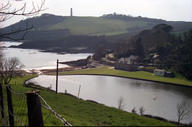 Gribbin Head Natural site, England4.6 km SE
-
Carclaze Downs Mountain, Treverbyn5.1 km W
-
Castle Dore Hill Mountain, St. Sampson3.1 km NE
-
Gull Island Mountain, Carlyon3.4 km SW
-
Crift Downs Mountain, Lanlivery6.4 km N
Sources & licences
Data last updated: · 2 independent sources