Chesterfield District
Located in Derbyshire, England Coordinates: 53°15′20″ N 1°23′28″ W
- Population
- 104,440
- 104.4K
- Elevation
- 129 m
- above sea level
- Local time
- UTC+00:00
- Europe/London · UTC+00:00
- Places inside
- 27
- listed under Chesterfield District
About Chesterfield District
Chesterfield District is a municipality. Location: Derbyshire, England. Population: 104,440. Elevation: 129 m.
In comparison
- No. 3 of 8 places in Derbyshire by population
- Nearest larger town: Chesterfield, 2 km W
- 13 sights and natural places within 10 km Tapton Motte, Barrow Hill Engine Shed
- Listed here: Neighbourhood: 19, Village: 5, City: 1, Historic site: 1
Places in Chesterfield District
27 places-
Chesterfield City113.1K
-
Walton Neighbourhood2.5K
-
Ashgate Neighbourhood
-
B2net Stadium Landmark
-
Birdholme Neighbourhood
-
Boythorpe Neighbourhood
-
Brimington Village
-
Brockwell Neighbourhood
-
Brookside Neighbourhood
-
Dunston Neighbourhood
-
Hady Neighbourhood
-
Hasland Neighbourhood
-
Loundsley Green Neighbourhood
-
Newbold Village
-
Newbold Moor Neighbourhood
-
New Whittington Neighbourhood
-
Old Whittington Neighbourhood
-
Sheepbridge Neighbourhood
-
Spital Neighbourhood
-
St Augustines Neighbourhood
-
Staveley Village
-
Stonegravels Neighbourhood
-
Tapton Village
-
Tapton Motte Historic site
-
The Brushes Neighbourhood
-
The Bungalows Village
-
Whittington Moor Neighbourhood
Nearby attractions & nature
Everything nearby-
Barlow Brook River, England3.1 km NW
-
Hardwick Hill Mountain, Unstone3.7 km NW
-
River Hipper River, England3.7 km SW
-
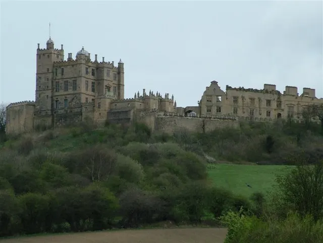 Bolsover Castle Historic site, Old Bolsover6.9 km SE
-
Cobnar Hill Mountain, Barlow5.6 km W
-
Moortop Mountain, Unstone5.6 km N
-
Highfield Hill Mountain, Dronfield6.2 km NW
-
All Saints' Church of Englend (C of E) Attraction, Wingerworth6.3 km SW
Other cities and towns in Derbyshire
-
North East Derbyshire Municipality, Derbyshire9.5 km SW
-
Bolsover District Municipality, Derbyshire10 km SE
-
Staveley Town, Staveley3 km NE
-
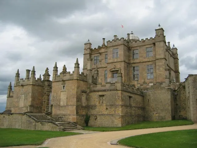 Bolsover Town, Old Bolsover7.3 km SE
-
Dronfield Town, Dronfield7.6 km NW
-
Wingerworth Town, Wingerworth6.6 km SW
Sources & licences
Data last updated: