Ford
Located in Chivelstone, South Hams District Coordinates: 50°15′09″ N 3°42′05″ W
- Elevation
- 21 m
- above sea level
- Local time
- UTC+00:00
- Europe/London · UTC+00:00
About Ford
Ford is a village. Location: Chivelstone, South Hams District. Elevation: 21 m.
In comparison
- Nearest larger town: Stokenham, 3 km NE
- 23 sights and natural places within 10 km Kellaton Hill, Widdicombe Hill
Airports nearest to Ford
- Exeter International Airport (EXT) Exeter, Devon 57 km
- Cornwall Airport Newquay (NQY) Newquay 94 km
- Guernsey Airport (GCI) Saint Peter Port 120 km
Straight-line distance; airports with scheduled flights only. Source: OurAirports (public domain).
Nearby attractions & nature
Everything nearby-
Kellaton Hill Mountain, Stokenham1.1 km SE
-
Down Hill Mountain, Stokenham3.7 km SE
-
Widdicombe Hill Mountain, Stokenham2.5 km NE
-
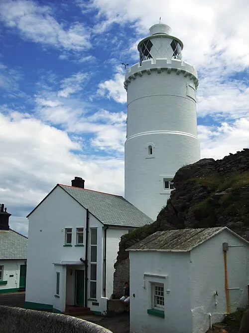 Start Point Lighthouse Landmark, Stokenham5.4 km SE
-
Knowle Fork Mountain, Chivelstone3.6 km S
-
Star Point Transmitter, Mast North Landmark, Stokenham3.7 km SE
Sources & licences
Data last updated: