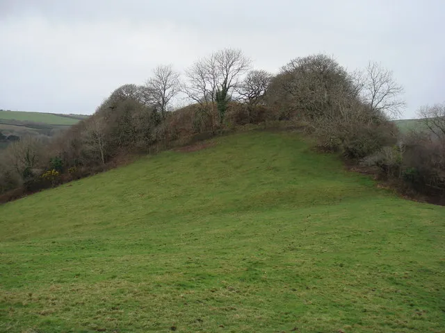
Durpley Castle
Located in Shebbear, Torridge District Coordinates: 50°53′27″ N 4°14′02″ W
- Local time
- UTC+00:00
- Europe/London · UTC+00:00
- Elevation
- 138 m
- above sea level
About Durpley Castle
Durpley Castle is a historic site. Location: Shebbear, Torridge District.
At a glance
- Heritage designation
- scheduled monument
Source: Wikidata
In comparison
- 12 sights and natural places within 10 km Woodford Wood Motte, Thorne Moor
Nearby attractions & nature
Everything nearby-
Woodford Wood Motte Historic site, Milton Damerel3.3 km W
-
Thorne Moor Mountain, Buckland Brewer4.2 km NW
-
Cudemoor Mountain, Langtree4.3 km NE
-
River Waldon River, England4.7 km S
-
Torrington Castle Historic site, Great Torrington9.3 km NE
-
Brightmans Hill Mountain, Petrockstow6.5 km E
-
Highweek Hill Mountain, Black Torrington7 km S
-
 Penstowe Castle Historic site, Kilkhampton19 km W
Nearest towns and villages
-
Caute Village, Shebbear1.9 km S
-
Shebbear Village, Shebbear3.4 km SE
-
Berry Village, Shebbear2.6 km S
-
Newton St. Petrock Village, Torridge District1.8 km W
Sources & licences
Data last updated: · 2 independent sources