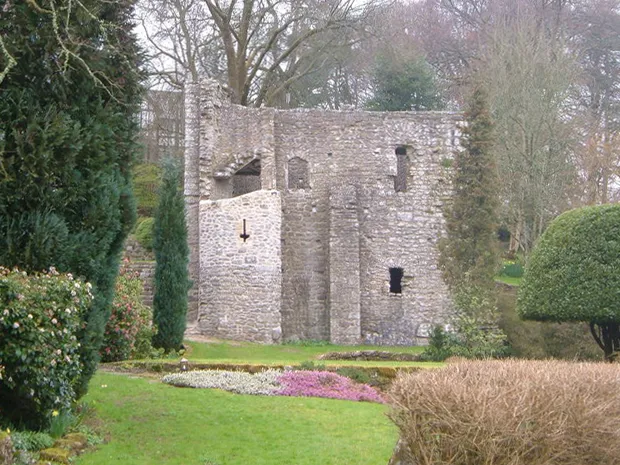
Gidleigh Castle
Located in Gidleigh, West Devon District Coordinates: 50°40′48″ N 3°52′59″ W
- Local time
- UTC+00:00
- Europe/London · UTC+00:00
- Elevation
- 272 m
- above sea level
About Gidleigh Castle
Gidleigh Castle is a historic site. Location: Gidleigh, West Devon District.
Gidleigh Castle was the manor house of the manor of Gidleigh on the north-eastern edge of Dartmoor, about two miles (3.2 km) north-west of the town of Chagford, Devon, England.
Read more on Wikipedia Text: Wikipedia contributors · CC BY-SA 4.0 · shortened
At a glance
- Heritage designation
- Grade I listed building, scheduled monument
Source: Wikidata
In comparison
- 35 sights and natural places within 10 km Way Down, Rushford Tower
Nearby attractions & nature
Everything nearby-
Way Down Mountain, Throwleigh1.5 km E
-
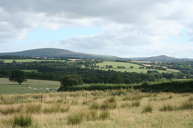 Cawsand Beacon Mountain, South Tawton4.2 km NW
-
Rushford Tower Mountain, Chagford3.3 km E
-
Meldon Hill Mountain, Chagford3.4 km SE
-
Nattadon Common Mountain, Chagford3.9 km SE
-
Hound Tor Mountain, Dartmoor Forest4.2 km W
-
Livaton Hill Mountain, Drewsteignton4.6 km N
-
Cosdon Hill Mountain, South Tawton4.6 km NW
Nearest towns and villages
-
Gidleigh Village, Gidleigh0.2 km E
-
Forder Village, Throwleigh1.2 km N
-
Throwleigh Village, West Devon District1.3 km N
-
Teigncombe Village, Chagford1.3 km S
Sources & licences
Data last updated: · 2 independent sources