Castle Park
Located in Doncaster, England Coordinates: 53°32′01″ N 1°04′41″ W
- Local time
- UTC+00:00
- Europe/London · UTC+00:00
- Elevation
- 24 m
- above sea level
About Castle Park
Castle Park is a landmark. Location: Doncaster, England.
In comparison
- 12 sights and natural places within 10 km Sandall Beat Wood, South Yorkshire Aircraft Museum
Nearby attractions & nature
Everything nearby-
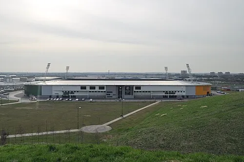 Keepmoat Stadium Landmark, Loversall3.6 km SW
-
South Yorkshire Aircraft Museum Museum, Doncaster3 km SW
-
Sandall Beat Wood Natural site, England2 km S
-
Crimpsall Mediumwave Transmitter Landmark, Sprotbrough and Cusworth4.8 km W
-
Potteric Carr Nature Reserve Natural site, Doncaster4.4 km SW
-
Rossington Historic site, Rossington6 km S
-
Adwick le Street Castle Hills Historic site, Doncaster6.5 km W
-
Cusworth Hall Museum Museum, Sprotbrough and Cusworth6.6 km W
Nearest towns and villages
-
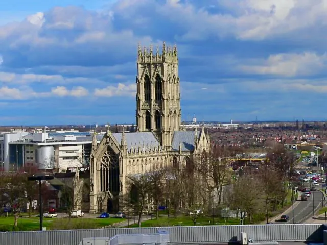 Doncaster City, Doncaster3.7 km W
-
Armthorpe Town, Armthorpe1.6 km E
-
Bentley Town, Doncaster4.8 km W
-
Kirk Sandall Town, Barnby Dun with Kirk Sandall3.2 km N
More sights in Doncaster
-
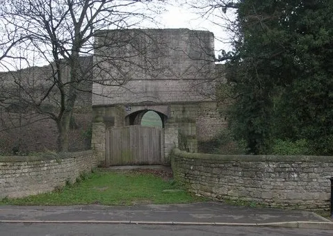 Tickhill Castle Historic site, Tickhill12 km S
-
Blaxton Pond o' the Hill Historic site, Blaxton6.9 km SE
-
Fenwick Moat Hill Historic site, Fenwick11 km N
-
Hampole Castle Hill Historic site, Hampole12 km NW
-
Skellow Historic site, Doncaster10 km NW
-
Conisbrough Castle Historic site, Doncaster11 km SW
Sources & licences
Data last updated: