Mexborough
Located in Denaby, Doncaster Coordinates: 53°29′38″ N 1°17′33″ W
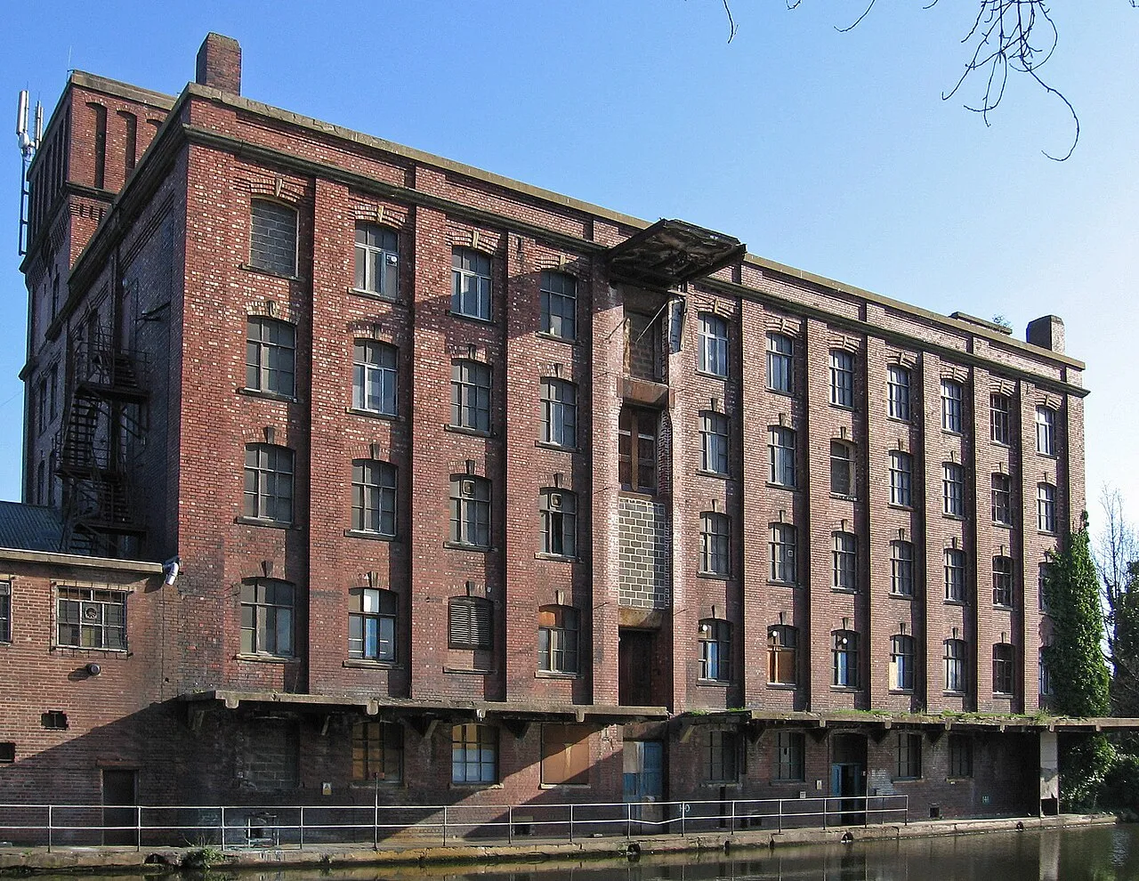
- Population
- 15,079
- 15.1K
- Elevation
- 28 m
- above sea level
- Local time
- UTC+00:00
- Europe/London · UTC+00:00
About Mexborough
Mexborough is a town. Location: Denaby, Doncaster. Population: 15,079. Elevation: 28 m.
Mexborough is a town in the City of Doncaster District, South Yorkshire, England, between Manvers and Denaby Main, on the River Don close to where it joins the River Dearne, and the A6023 road. It is contiguous with Swinton to the southwest and Conisbrough to the east. Historically part of the West Riding of Yorkshire, Mexborough had a population of 15,244 at the 2011 Census.
Read more on Wikipedia Text: Wikipedia contributors · CC BY-SA 4.0 · shortened
In comparison
- Nearest larger town: Wath upon Dearne, 4 km W
- 19 sights and natural places within 10 km Mexborough Castle Hill, The Ings
Nearby attractions & nature
Everything nearby-
Mexborough Castle Hill Historic site, Doncaster1.4 km E
-
The Ings Mountain, Doncaster2.9 km E
-
Gawk Hill Mountain, Hickleton5 km N
-
Conisbrough Castle Historic site, Doncaster4.6 km E
-
Newhill Mountain, Rotherham3.4 km W
-
River Dearne River, England5.1 km E
-
Foredoles Head Mountain, Braithwell7.8 km SE
-
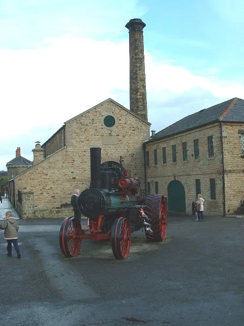 Elsecar Heritage Centre Museum, Barnsley8.5 km W
Sources & licences
Data last updated: · 2 independent sources