Doncaster
Located in England, United Kingdom Coordinates: 53°30′00″ N 1°05′00″ W
- Population
- 319,765
- 319.8K
- Elevation
- 12 m
- above sea level
- Local time
- UTC+00:00
- Europe/London · UTC+00:00
- Places inside
- 82
- listed under Doncaster
About Doncaster
Doncaster is a district. Location: England, United Kingdom. Population: 319,765.
In comparison
- 13 sights and natural places within 10 km Potteric Carr Nature Reserve, Sandall Beat Wood
- Listed here: Municipality: 43, Neighbourhood: 21, Village: 7, Historic site: 4
Places in Doncaster
82 places-
Scawthorpe Village
-
Shaftholme Village
-
Skellow Village
-
Skellow Historic site
-
Sprotbrough and Cusworth Municipality
-
Stainforth Municipality
-
Stainton Municipality
-
Stockbridge Neighbourhood
-
Sykehouse Municipality
-
The Ings Mountain
-
Thorne Municipality
-
Thorpe in Balne Municipality
-
Tickhill Municipality
-
Toll Bar Village
-
Wadworth Municipality
-
Warmsworth Municipality
-
Wheatley Neighbourhood
-
Wheatley Hills Neighbourhood
-
Wheatley Park Neighbourhood
-
Windhill Neighbourhood
-
Woodlands East Neighbourhood
Nature and heritage in Doncaster
-
Tickhill Castle Historic site, Tickhill
-
Keepmoat Stadium Landmark, Loversall
-
Fenwick Moat Hill Historic site, Fenwick
-
Hampole Castle Hill Historic site, Hampole
-
Hickleton Hill Mountain, Hooton Pagnell
-
Hatfield Colliery Mountain, Stainforth
Nearby attractions & nature
Everything nearby-
Sandall Beat Wood Natural site, England2.2 km NE
-
River Dearne River, England8.8 km W
-
Harworth Colliery Mountain, Styrrup with Oldcotes10 km S
-
Laughton en le Morthen Castle Hill Historic site, Laughton-en-le-Morthen16 km SW
-
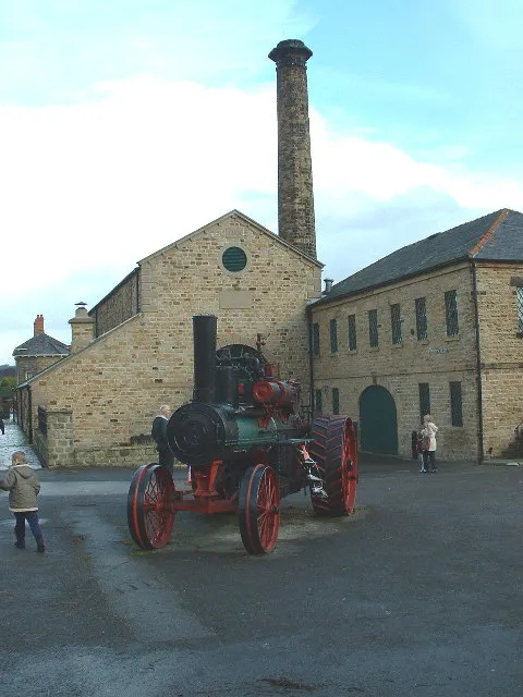 Elsecar Heritage Centre Museum, Barnsley22 km W
-
Roche Abbey Historic site, Maltby13 km SW
Sources & licences
Data last updated: