Nottinghamshire
Located in England, United Kingdom Coordinates: 53°10′00″ N 1°00′00″ W
- Population
- 1,188,090
- 1.2M
- Elevation
- 63 m
- above sea level
- Local time
- UTC+00:00
- Europe/London · UTC+00:00
- Places inside
- 7
- listed under Nottinghamshire
About Nottinghamshire
Nottinghamshire is a district. Location: England, United Kingdom. Population: 1,188,090.
In comparison
- 17 sights and natural places within 10 km Rufford Abbey, Wellow
- Listed here: Municipality: 7
Places in Nottinghamshire
7 places-
Ashfield District Municipality124.5K
-
Newark and Sherwood District Municipality119.6K
-
Gedling District Municipality116.5K
-
Rushcliffe Municipality115.2K
-
Bassetlaw Municipality114.8K
-
Broxtowe District Municipality112.7K
-
Mansfield District Municipality107.4K
Nature and heritage in Nottinghamshire
-
Greasley Castle Historic site, Greasley
-
Ramsdale Hill Mountain, Gedling District
-
Loath Hill Mountain, Oxton
-
Manor Hills Mountain, Bassetlaw
-
Castle Hill Mountain, Grove
-
Brands Hill Mountain, Barton in Fabis
Nearby attractions & nature
Everything nearby-
Sherwood Forest Natural site, England5.6 km W
-
Dukes Wood Natural site, England6.7 km SE
-
River Maun River, England9.9 km N
-
Kelham Hills Natural site, England12 km SE
-
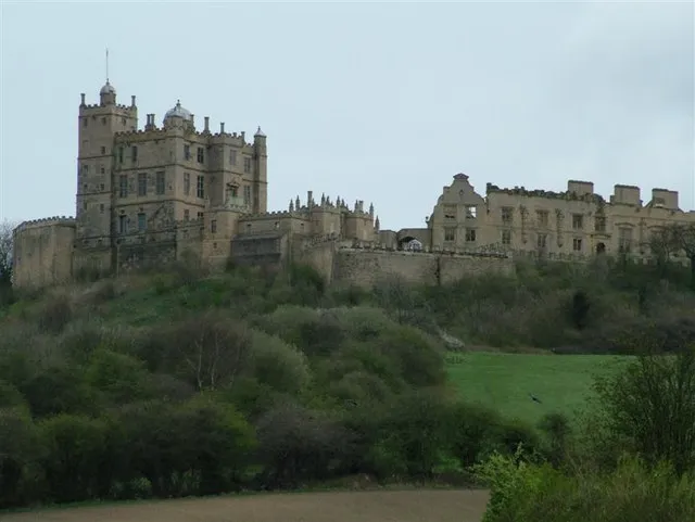 Bolsover Castle Historic site, Old Bolsover21 km W
-
Vale of the Trent Natural site, England25 km NE
Sources & licences
Data last updated: