Broxtowe District
Located in Nottinghamshire, England Coordinates: 52°58′23″ N 1°15′28″ W
- Population
- 112,671
- 112.7K
- Elevation
- 91 m
- above sea level
- Local time
- UTC+00:00
- Europe/London · UTC+00:00
- Places inside
- 19
- listed under Broxtowe District
- Airports
- EMA East Midlands Airport16 km
- BHX Birmingham Airport67 km
About Broxtowe District
Broxtowe District is a municipality. Location: Nottinghamshire, England. Population: 112,671. Elevation: 91 m. The best months to visit are June–August. The nearest airport is East Midlands Airport (16 km). Nearby sights include Nottingham M1 and Aspley Hall.
Climate of Broxtowe District
Best months for sightseeingBest months for sightseeing: June–August.
This month · November
A cold month
Day 9° · Night 3° · Rain 56 mm
- Hottest month
- July (day 21°)
- Coldest month
- February (night 1°)
- Wettest month
- December (61 mm)
- Driest month
- February (44 mm)
Bars: average monthly low and high temperature. Below: precipitation. Monthly averages for 1970–2000 at about 18 km resolution, adjusted for elevation. Highlighted months are mild and relatively dry. Source: WorldClim 2.1 (CC BY 4.0).
Show values as a table
| Month | Jan | Feb | Mar | Apr | May | Jun | Jul | Aug | Sep | Oct | Nov | Dec |
|---|---|---|---|---|---|---|---|---|---|---|---|---|
| Average high (°C) | 7° | 7° | 10° | 12° | 16° | 19° | 21° | 21° | 18° | 14° | 9° | 7° |
| Average low (°C) | 1° | 1° | 2° | 4° | 6° | 9° | 11° | 11° | 9° | 6° | 3° | 2° |
| Precipitation (mm) | 57 | 44 | 47 | 46 | 45 | 58 | 46 | 54 | 54 | 55 | 56 | 61 |
How to get to Broxtowe District
The nearest airport is East Midlands Airport (EMA), 16 km to the south as the crow flies. The nearest large city is Nottingham, 8 km to the east.
Airports
- East Midlands Airport (EMA) Nottingham, Leicestershire 16 kmsouth
- Birmingham Airport (BHX) Birmingham, West Midlands 67 kmsouthwest
- Manchester Airport (MAN) Manchester, Greater Manchester 80 kmnorthwest
Nearby large cities
- Nottingham Population: 323.6K 8 kmeast
- Derby Population: 270.5K 16 kmwest
- Mansfield Population: 172K 18 kmnorth
- Burton-on-Trent Population: 122.2K 32 kmsouthwest
- Chesterfield Population: 113.1K 33 kmnorth
Straight-line distances; road distances are longer. Airport data: OurAirports.
Day trips from Broxtowe District
Within 100 km: 584 historic and cultural sites, 699 natural sites, 118 lakes, rivers and coasts.
0–25 km91 places
- Barton Island Island 9 kmS
- Holme Nook Island 15 kmW
- Bolehill Mountain 25 kmNW
- Newtonwood Lane Mountain 19 kmN
25–60 km459 places
- Newark Island Island 31 kmE
- Horninglow island Island 31 kmSW
- Don Island Island 51 kmN
- Torksey Island Island 50 kmNE
60–100 km851 places
- Read's Island Island 92 kmNE
- Whitton Island Island 91 kmNE
- Howden Dyke Island Island 88 kmN
- Beal Island Island 84 kmN
Straight-line distances.
Broxtowe District and similar cities
Side by side with cities of similar size in the same country: population, elevation and climate.
| Measure | Broxtowe District | Chesterfield | Doncaster | Chelmsford |
|---|---|---|---|---|
| Population | 112.7K | 113.1K | 113.6K | 111.5K |
| Elevation | 91 m | 89 m | 19 m | 33 m |
| Summer day (hottest month) | 21° | 21° | 21° | 22° |
| Winter night (coldest month) | 1° | 1° | 1° | 1° |
| Annual rainfall | 623 mm | 830 mm | 574 mm | 589 mm |
| Best months | Jun–Aug | Jun–Aug | Jun–Aug | Jun–Aug |
| Distance | — | 33 km | 62 km | 181 km |
Climate values are 1970–2000 monthly averages; straight-line distance.
Places in Broxtowe District
19 placesBar: population relative to the most populous place in this list.
Cities & villages12
Mountains & nature2
- Bramcote Hill · Mountain
- Burnt Hill · Mountain
Nearby attractions & nature
Everything nearby-
Nottingham M1 Mountain, Nottingham1.3 km NE
-
Aspley Hall Landmark, Nottingham4.1 km E
-
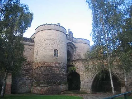 Nottingham Castle Historic site, Nottingham7.4 km E
-
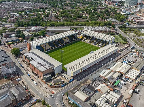 Meadow Lane Landmark, Nottingham8.8 km SE
-
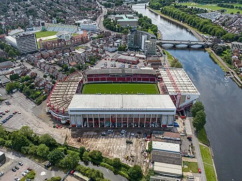 City Ground Landmark, Rushcliffe9.2 km SE
-
No Man's Lane Mountain, Sandiacre6.2 km SW
-
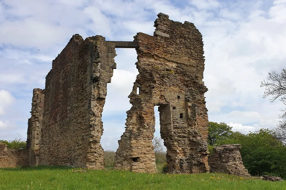 Codnor Castle Historic site, Aldercar and Langley Mill10 km NW
-
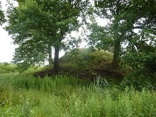 Morley House Farm Mound Historic site, Morley11 km W
Other cities and towns in Nottinghamshire
-
Gedling District Municipality, Nottinghamshire11 km NE
-
Ashfield District Municipality, Nottinghamshire13 km N
-
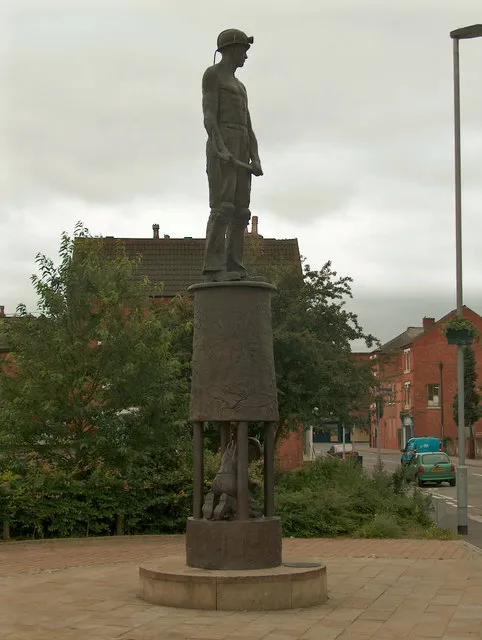 Hucknall Town, Ashfield District7.8 km NE
-
Kimberley Town, Strelley1.3 km NW
-
Rushcliffe Municipality, Nottinghamshire16 km SE
-
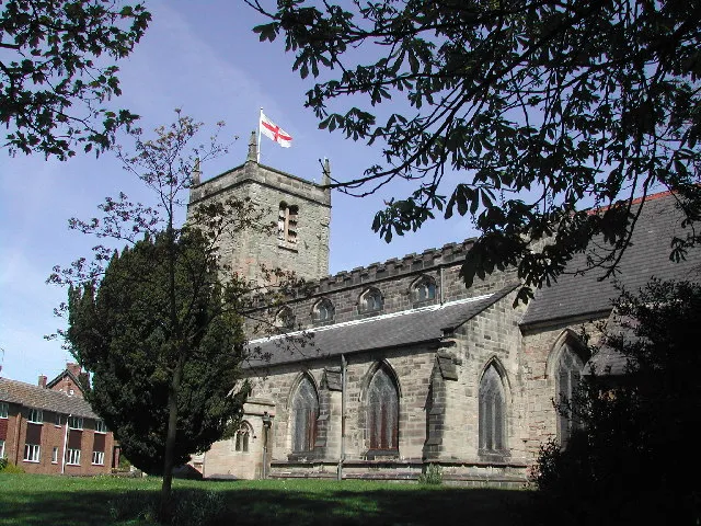 Arnold Town, Gedling District8.9 km E
Sources & licences
Data last updated: