Meadow Lane
Located in Nottingham, England Coordinates: 52°56′33″ N 1°08′14″ W
- Local time
- UTC+00:00
- Europe/London · UTC+00:00
- Elevation
- 28 m
- above sea level
About Meadow Lane
Meadow Lane is a landmark. Location: Nottingham, England.
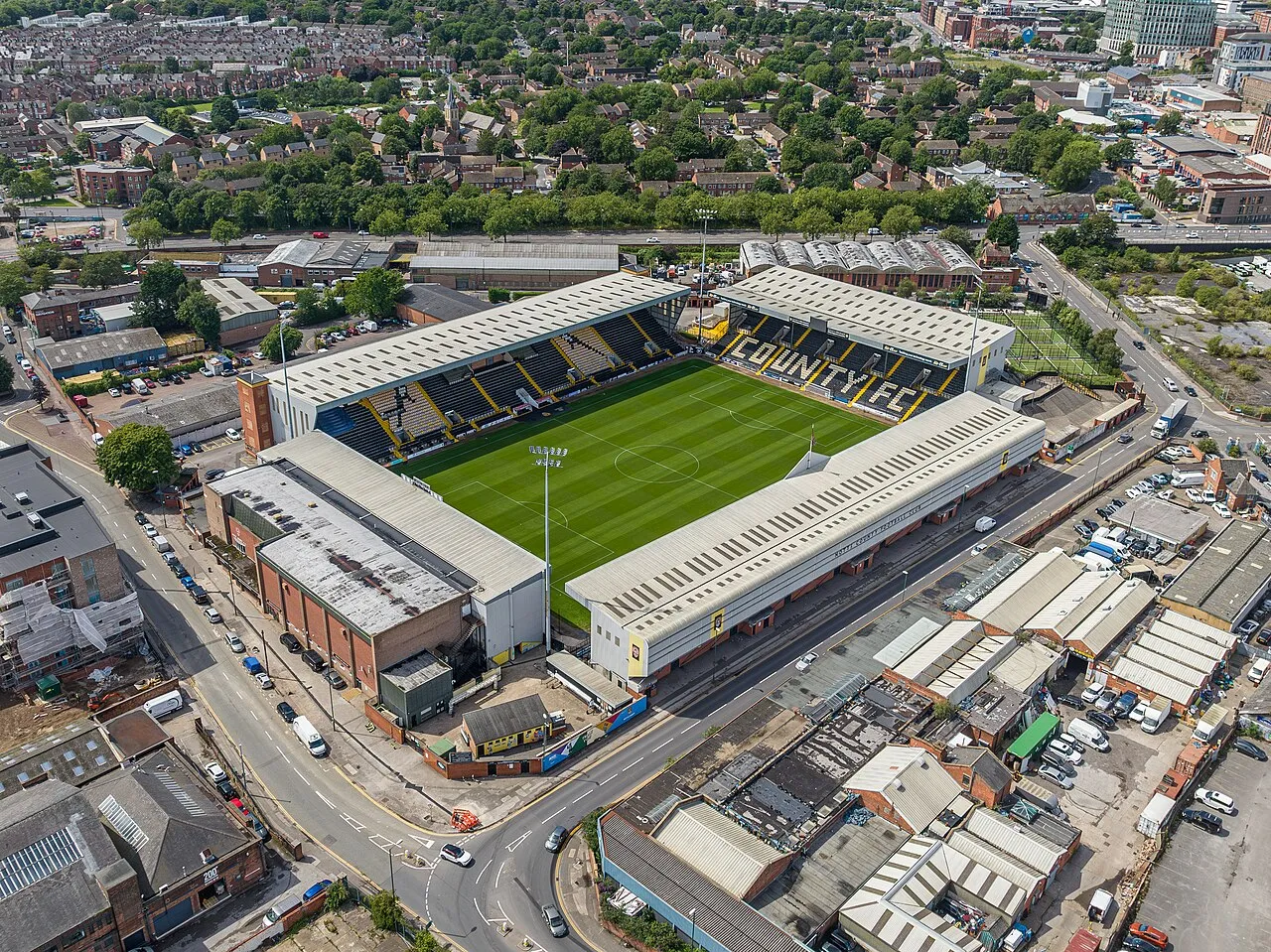
Meadow Lane is a football stadium in Nottingham, England. It is the home ground of Notts County, who have played there since it opened in 1910. The stadium was also home to Notts County Ladies F.C. from 2014 to 2017. It currently has an all-seated capacity of 19,841 for EFL games, although its maximum capacity is 20,229. The record attendance is 47,310, who watched Notts lose 1–0 to York City in the FA Cup Sixth Round on 12 March 1955.
Read more on Wikipedia Text: Wikipedia contributors · CC BY-SA 4.0 · shortened
At a glance
- Built
- 1910
- Opened
- 1910
Source: Wikidata
In comparison
- 21 sights and natural places within 10 km City Ground, Nottingham Castle
Airports nearest to Meadow Lane
- East Midlands Airport (EMA) Nottingham, Leicestershire 18 km
- Birmingham Airport (BHX) Birmingham, West Midlands 68 km
- Humberside Airport (HUY) Grimsby, Lincolnshire 88 km
Straight-line distance; airports with scheduled flights only. Source: OurAirports (public domain).
Nearby attractions & nature
Everything nearby-
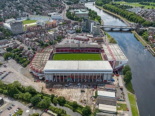 City Ground Landmark, Rushcliffe0.4 km SE
-
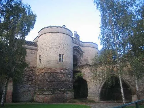 Nottingham Castle Historic site, Nottingham1.4 km NW
-
St James Church (CofE) Attraction, Gedling District4.6 km NE
-
Aspley Hall Landmark, Nottingham4.9 km NW
-
Mapperley Mountain, Nottingham4.5 km N
-
Wilford Hill Mountain, Rushcliffe3.6 km S
-
Nottingham Transport Heritage Centre Museum, Ruddington6.5 km S
-
Shelford Historic site, Shelford and Newton8.8 km NE
Nearest towns and villages
-
Nottingham City, Nottingham1.5 km NW
-
Sneinton Neighbourhood, Nottingham1.1 km N
-
West Bridgford Town, Rushcliffe1.6 km SE
-
Basford Town, Nottingham4.1 km NW
Sources & licences
Data last updated: · 2 independent sources