Rushcliffe
Located in Nottinghamshire, England Coordinates: 52°54′44″ N 1°02′37″ W
- Population
- 115,204
- 115.2K
- Elevation
- 39 m
- above sea level
- Local time
- UTC+00:00
- Europe/London · UTC+00:00
- Places inside
- 62
- listed under Rushcliffe
About Rushcliffe
Rushcliffe is a municipality. Location: Nottinghamshire, England. Population: 115,204. Elevation: 39 m.
In comparison
- No. 4 of 7 places in Nottinghamshire by population
- Nearest larger town: Nottingham, 9 km NW
- 12 sights and natural places within 10 km Dewberry Hill, Wilford Hill
- Listed here: Village: 59, Landmark: 1, Mountain: 1, Town: 1
Places in Rushcliffe
62 places-
West Bridgford Town36.5K
-
Stanton on the Wolds Village413
-
Aslockton Village
-
Barton in Fabis Village
-
Bingham Village
-
Bradmore Village
-
Bunny Village
-
Car Colston Village
-
City Ground Landmark
-
Clipston Village
-
Colston Bassett Village
-
Costock Village
-
Cotgrave Village
-
Cropwell Bishop Village
-
Cropwell Butler Village
-
East Bridgford Village
-
East Leake Village
-
Edwalton Village
-
Elton-on-the-Hill Village
-
Flawborough Village
-
Flintham Village
-
Gamston Village
-
Gotham Village
-
Granby Village
-
Hawksworth Village
-
Hickling Village
-
Holme Pierrepont Village
-
Keyworth Village
-
Kingston on Soar Village
-
Kinoulton Village
-
Kneeton Village
-
Langar cum Barnstone Village
-
Normanton on Soar Village
-
Normanton on the Wolds Village
-
Orston Village
-
Owthorpe Village
-
Plumtree Village
-
Radcliffe on Trent Village
-
Ratcliffe on Soar Village
-
Rempstone Village
-
Ruddington Village
-
Saxondale Village
-
Scarrington Village
-
Screveton Village
-
Shelford and Newton Village
-
Shelton Village
-
Sibthorpe Village
-
Stanford on Soar Village
-
Sutton Bonington Village
-
Thoroton Village
-
Thorpe in the Glebe Village
-
Thrumpton Village
-
Tithby Village
-
Tollerton Village
-
Upper Broughton Village
-
West Leake Village
-
Whatton-in-the-Vale Village
-
Widmerpool Village
-
Wilford Hill Mountain
-
Willoughby on the Wolds Village
Nearby attractions & nature
Everything nearby-
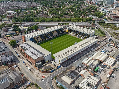 Meadow Lane Landmark, Nottingham7.1 km NW
-
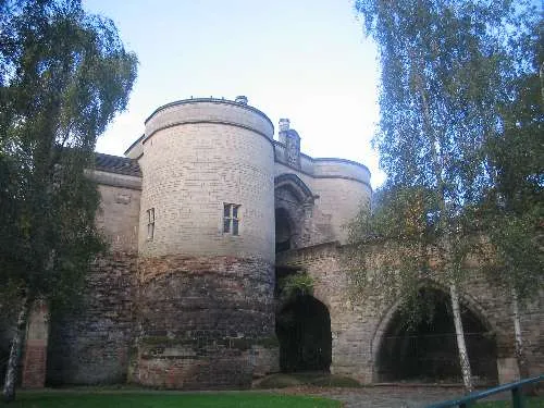 Nottingham Castle Historic site, Nottingham8.5 km NW
-
Gunthorpe Henge Historic site, Gunthorpe9.7 km N
-
Mapperley Mountain, Nottingham9.5 km NW
-
St James Church (CofE) Attraction, Gedling District8.7 km NW
-
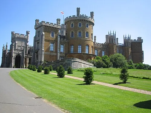 Belvoir Castle Historic site, Belvoir18 km E
-
Lambley Round Hill Historic site, Lambley10 km N
-
Aspley Hall Landmark, Nottingham12 km NW
Other cities and towns in Nottinghamshire
-
Gedling District Municipality, Nottinghamshire14 km N
-
Cotgrave Town, Cotgrave0.6 km SE
-
Broxtowe District Municipality, Nottinghamshire16 km NW
-
 Arnold Town, Gedling District11 km NW
-
Radcliffe on Trent Town, Radcliffe on Trent4 km N
-
Keyworth Town, Keyworth5.5 km SW
Sources & licences
Data last updated: