Dudley
Located in England, United Kingdom Coordinates: 52°30′00″ N 2°07′00″ W
- Population
- 317,634
- 317.6K
- Elevation
- 154 m
- above sea level
- Local time
- UTC+00:00
- Europe/London · UTC+00:00
- Places inside
- 89
- listed under Dudley
About Dudley
Dudley is a district. Location: England, United Kingdom. Population: 317,634.
In comparison
- 27 sights and natural places within 10 km Netherton Hill, Wren's Nest
- Listed here: Neighbourhood: 55, Village: 18, Mountain: 7, Town: 4
Places in Dudley
89 places-
Ridge Hill Village
-
Roseville Neighbourhood
-
Ruiton Neighbourhood
-
Russell's Hall Neighbourhood
-
Scott's Green Neighbourhood
-
Sedgley Beacon Mountain
-
Springs Mire Neighbourhood
-
Stambermill Neighbourhood
-
Stand Hill Mountain
-
Swan Village Neighbourhood
-
Tansley Hill Neighbourhood
-
The Coppice Neighbourhood
-
The Leasowes Natural site
-
The Straits Neighbourhood
-
Upper Ettingshall Neighbourhood
-
Upper Gornal Neighbourhood
-
Wallbrook Neighbourhood
-
Wall Heath Neighbourhood
-
West Coseley Neighbourhood
-
Windmill End Neighbourhood
-
Withymoor Island Island
-
Withymoor Village Neighbourhood
-
Wollaston Village
-
Wollescote Neighbourhood
-
Woodside Village
-
Wordsley Village
-
Wren's Nest Mountain
-
Wren's Nest Neighbourhood
-
Wychbury Hill Mountain
Nearby attractions & nature
Everything nearby-
Turner's Hill Mountain, Sandwell4.6 km E
-
Ridgehill Mountain, Kinver4.6 km W
-
Turners Hill BT Tower Landmark, Sandwell4.6 km E
-
Sedgley Mediumwave Transmitter Landmark, Himley5.1 km N
-
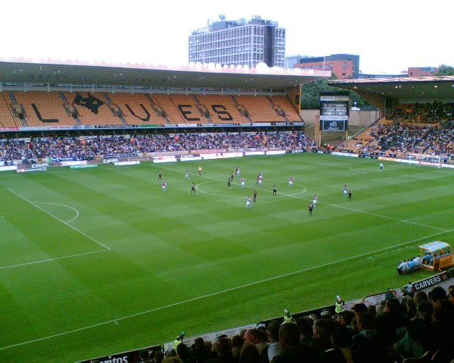 Molineux Stadium Landmark, Wolverhampton10 km N
-
Stourton Castle Historic site, Kinver7.6 km SW
Sources & licences
Data last updated: