Knitsley
Located in Healeyfield, Durham Coordinates: 54°49′57″ N 1°49′45″ W
- Elevation
- 180 m
- above sea level
- Local time
- UTC+00:00
- Europe/London · UTC+00:00
About Knitsley
Knitsley is a village. Location: Healeyfield, Durham. Elevation: 180 m.
Knitsley is a hamlet in the civil parish of Healeyfield, in the County Durham district, in the ceremonial county of Durham, England. It is situated a short distance to the south of the town of Consett. The name derives from Old English and means the meadow where knights were//the knight's field/knight's clearing. Knitsley is mentioned in a charter of c. 1250 in which Adam of Knychley held lands near Iveston.
Read more on Wikipedia Text: Wikipedia contributors · CC BY-SA 4.0 · shortened
In comparison
- Nearest larger town: Consett, 2 km N
- 11 sights and natural places within 10 km Humber Hill, Hole Row Tower
Nearby attractions & nature
Everything nearby-
Humber Hill Mountain, Lanchester3.8 km SE
-
Cornsay Hill Mountain, Cornsay6.4 km SE
-
Hole Row Tower Landmark, Shotley Low Quarter4.1 km NW
-
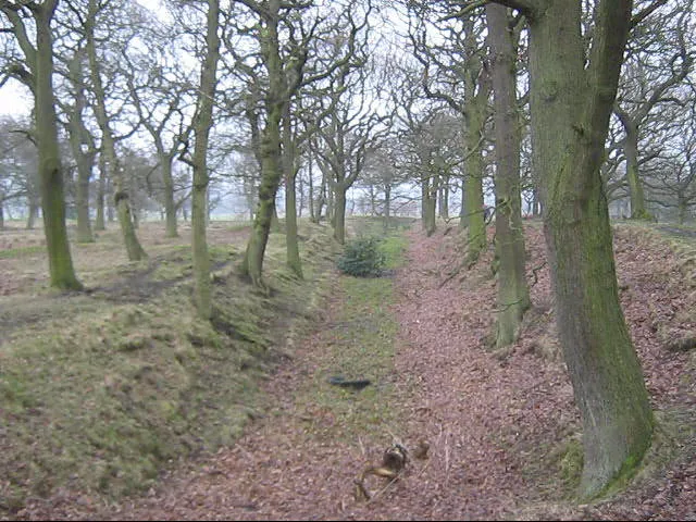 Castle Steads Historic site, Cornsay9 km SE
-
Cobby Castle Historic site, Durham9.6 km S
-
Pontop Pike Mountain, Durham5.7 km NE
Sources & licences
Data last updated: · 2 independent sources