Stone House Tower
Located in Stanhope, Durham Coordinates: 54°44′54″ N 2°00′20″ W
- Local time
- UTC+00:00
- Europe/London · UTC+00:00
- Elevation
- 223 m
- above sea level
About Stone House Tower
Stone House Tower is a landmark. Location: Stanhope, Durham.
In comparison
- 13 sights and natural places within 10 km Stanhope Castle, Collier Law
Nearby attractions & nature
Everything nearby-
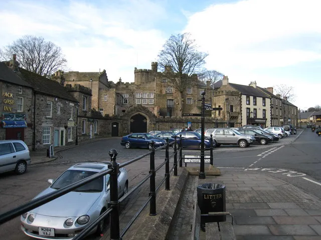 Stanhope Castle Historic site, Stanhope0.2 km SW
-
Catterick Mountain, Stanhope3.3 km S
-
Collier Law Mountain, LCPs of Stanhope, Wolsingham and Tow Law3.2 km NE
-
Gate Castle Historic site, Stanhope5.8 km W
-
Horseshoe Hill Mountain, Stanhope5.7 km N
-
Westgate Castle Historic site, Stanhope9.2 km W
-
Pawlaw Pike Mountain, Stanhope7.4 km S
-
Long Man Mountain, Stanhope7.4 km S
Nearest towns and villages
-
Stanhope Village, Stanhope0.7 km W
-
Crawleyside Village, Stanhope1.1 km NW
-
Frosterley Village, Stanhope3.9 km SE
-
Green Head Village, Stanhope2 km W
Sources & licences
Data last updated: