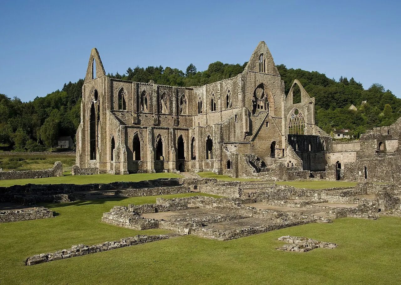
Tintern Abbey
Located in Gloucestershire, England Coordinates: 51°41′48″ N 2°40′37″ W
- Local time
- UTC+00:00
- Europe/London · UTC+00:00
- Elevation
- 14 m
- above sea level
About Tintern Abbey
Tintern Abbey is a historic site. Location: Gloucestershire, England.
Tintern Abbey (Welsh: Abaty Tyndyrn ) is a ruined medieval abbey adjacent to the village of Tintern in Monmouthshire, on the Welsh bank of the River Wye, which at this location forms the border between Monmouthshire in Wales and Gloucestershire in England. Founded on 9 May 1131 by Walter de Clare, Lord of Chepstow, it was the first Cistercian foundation in Wales, and the second in Britain (after Waverley Abbey). The abbey fell into ruin after the Dissolution of the Monasteries in the 16th century.
Read more on Wikipedia Text: Wikipedia contributors · CC BY-SA 4.0 · shortened
At a glance
- Built
- 1131
- Architectural style
- Gothic architecture
- Heritage designation
- Grade I listed building, scheduled monument, National Monument of Wales
Source: Wikidata
In comparison
- 35 sights and natural places within 10 km Beddick Hill, Clayton Wood
Nearby attractions & nature
Everything nearby-
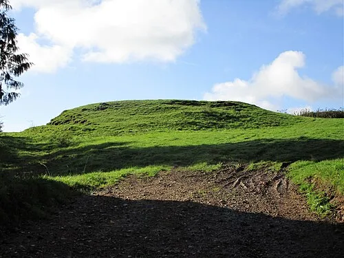 Hewelsfield Motte Historic site, Hewelsfield and Brockweir4 km NE
-
Beddick Hill Mountain, Tintern1.4 km N
-
Clayton Wood Mountain, Tidenham1.9 km E
-
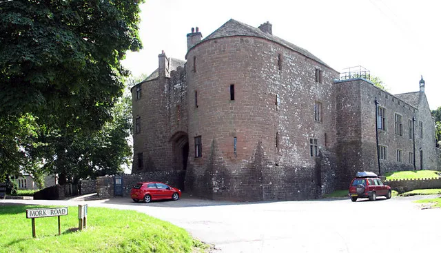 St Briavels Castle Historic site, St. Briavels5.2 km NE
-
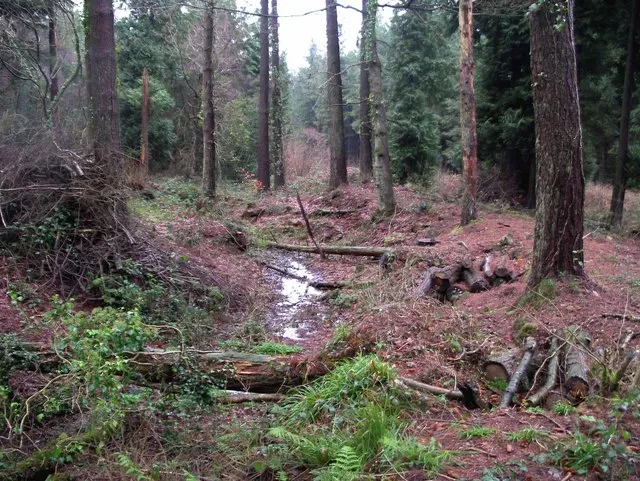 Chepstow Park Wood Earthwork Historic site, Devauden4.7 km SW
-
High Woolaston Historic site, Woolaston4.4 km E
-
Wyndcliff Hill Mountain, St. Arvans2.4 km S
-
Hart Hill Mountain, St. Briavels3.3 km N
Nearest towns and villages
-
Tintern Village, Tintern0.3 km W
-
Llandogo Village, Trellech United4.2 km N
-
Tintern Municipality, Monmouthshire2.3 km W
-
Botany Bay Village, Tintern2.3 km NW
More sights in Gloucestershire
-
Little Camp Hill Historic site, Lydney8.8 km E
-
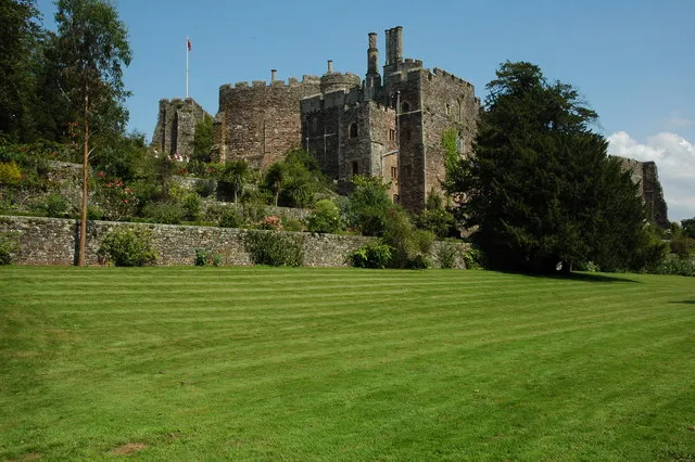 Berkeley Castle Historic site, Berkeley15 km E
-
Stow Green Historic site, St. Briavels7.2 km NE
-
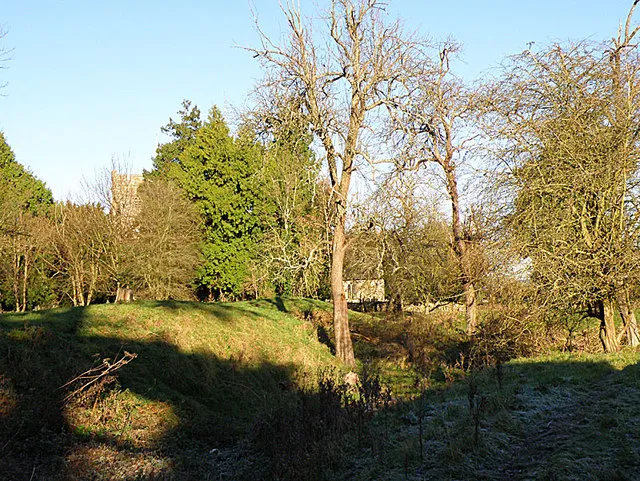 English Bicknor Castle Historic site, English Bicknor16 km N
-
Severn Road Bridge Landmark, Tidenham9.9 km S
-
St Mary's Church Attraction, Lydney10 km E
Sources & licences
Data last updated: · 2 independent sources