Spitalfields
Located in Tower Hamlets, Greater London Coordinates: 51°31′13″ N 0°04′28″ W
- Population
- 10,286
- 10.3K
- Elevation
- 21 m
- above sea level
- Local time
- UTC+00:00
- Europe/London · UTC+00:00
About Spitalfields
Spitalfields is a neighbourhood. Location: Tower Hamlets, Greater London. Population: 10,286.
Spitalfields () is an area in London, England, and is located in the London Borough of Tower Hamlets. It is in East London and situated in the East End. Spitalfields is formed around Commercial Street and Brick Lane. It has several markets, including Spitalfields Market, the historic Old Spitalfields Market, Brick Lane Market and Petticoat Lane Market. The area has long attracted migrants from overseas.
Read more on Wikipedia Text: Wikipedia contributors · CC BY-SA 4.0 · shortened
In comparison
- No. 11 of 12 places in Tower Hamlets by population
- Nearest larger town: Whitechapel, 1 km SE
- 246 sights and natural places within 10 km Bethlem Hospital, St Mary Matfelon church
Airports nearest to Spitalfields
- London City Airport (LCY) London 9 km
- London Heathrow Airport (LHR) London 27 km
- London Gatwick Airport (LGW) London 42 km
Straight-line distance; airports with scheduled flights only. Source: OurAirports (public domain).
Nearby attractions & nature
Everything nearby-
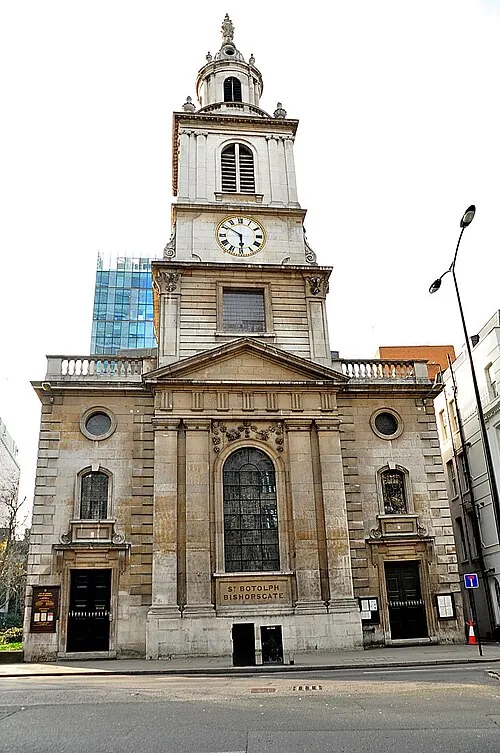 St Botolph-without-Bishopsgate Attraction, City of London0.6 km SW
-
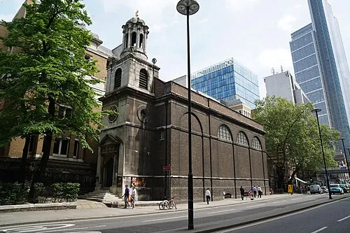 All Hallows-on-the-Wall Attraction, City of London0.8 km SW
-
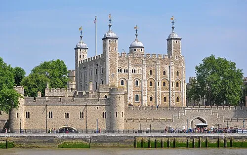 The Tower of London Historic site, Tower Hamlets1.3 km S
-
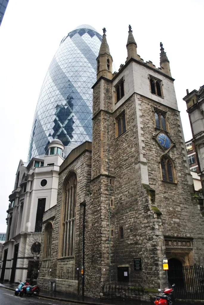 St Andrew Undershaft Attraction, City of London0.9 km SW
-
 Monument to the Great Fire of London Landmark, City of London1.4 km SW
-
 Tower Bridge Landmark, Tower Hamlets1.6 km S
Sources & licences
Data last updated: · 2 independent sources