Hart Burn
Located in England, United Kingdom Coordinates: 55°09′00″ N 1°49′00″ W
- Elevation
- 110 m
- above sea level
- Local time
- UTC+00:00
- Europe/London · UTC+00:00
About Hart Burn
Hart Burn is a river. Location: England, United Kingdom.
In comparison
- 38 sights and natural places within 10 km Meldon Tower, Temple Thornton
Nearest towns and villages
Nearby attractions & nature
Everything nearby-
Meldon Tower Landmark, Meldon0.3 km SE
-
Temple Thornton Landmark, Hartburn2.2 km NW
-
Whalton Tower Landmark, Whalton2.9 km SE
-
Bolam Castle Historic site, Belsay3.6 km SW
-
River Font River, England6.6 km E
-
Hartburn Old Vicarage Landmark, Hartburn3.6 km NW
-
Shaftoe Crags Mountain, Capheaton7 km W
-
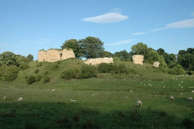 Mitford Castle Historic site, Mitford5.4 km E
Sources & licences
Data last updated: