Westmarsh
Located in Ash, Dover District Coordinates: 51°18′22″ N 1°15′56″ E
- Elevation
- 5 m
- above sea level
- Local time
- UTC+00:00
- Europe/London · UTC+00:00
About Westmarsh
Westmarsh is a village. Location: Ash, Dover District. Elevation: 5 m.
Westmarsh is a village in the Ash civil parish of East Kent, England. It is situated 8 miles (13 km) east of Canterbury and 7 miles (11 km) west of Ramsgate. Westmarsh is within a designated area of outstanding natural beauty and orchard filled countryside. The community centres on the village hall where local events are held. Historic buildings include Wingham Barton Manor, a Tudor country house, and Barton Barn, one of the oldest surviving isle barns in the country.
Read more on Wikipedia Text: Wikipedia contributors · CC BY-SA 4.0 · shortened
In comparison
- Nearest larger town: Ash, 3 km S
- 11 sights and natural places within 10 km Little Stour, Great Stour
Nearby attractions & nature
Everything nearby-
Mary le Bone Hill Historic site, Sandwich5.6 km SE
-
Little Stour River, England5 km N
-
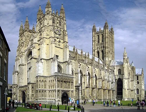 Canterbury Cathedral Attraction, City of Canterbury13 km W
-
Littlebourne Mediumwave Transmitter Landmark, Littlebourne7.7 km W
-
Spitfire & Hurricane Memorial Museum Museum, Minster7.8 km NE
-
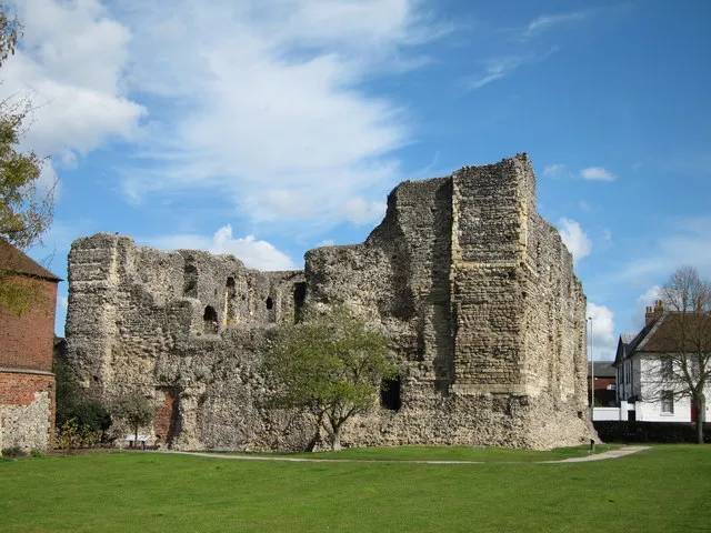 Canterbury Castle Historic site, City of Canterbury14 km W
Sources & licences
Data last updated: · 2 independent sources