Otham
Located in Maidstone, Kent Coordinates: 51°15′08″ N 0°34′22″ E
- Elevation
- 87 m
- above sea level
- Local time
- UTC+00:00
- Europe/London · UTC+00:00
- Places inside
- 4
- listed under Otham
About Otham
Otham is a village. Location: Maidstone, Kent. Elevation: 87 m.
In comparison
- Nearest larger town: Maidstone, 4 km NW
- 14 sights and natural places within 10 km Mote Park, Leeds Castle
- Listed here: Neighbourhood: 2, Village: 2
Places in Otham
4 places-
Green Hill Neighbourhood
-
Otham Village
-
Otham Hole Neighbourhood
-
Three Tees Village
Nearby attractions & nature
Everything nearby-
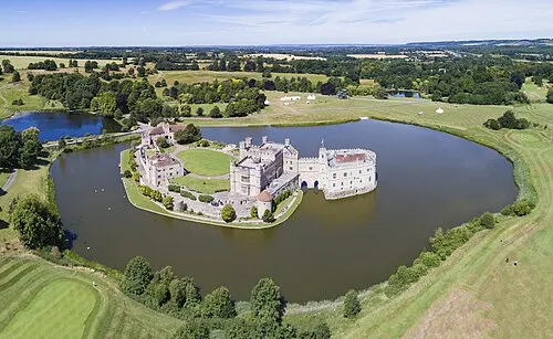 Leeds Castle Historic site, Broomfield and Kingswood4 km E
-
Mote Park Natural site, England2.3 km NW
-
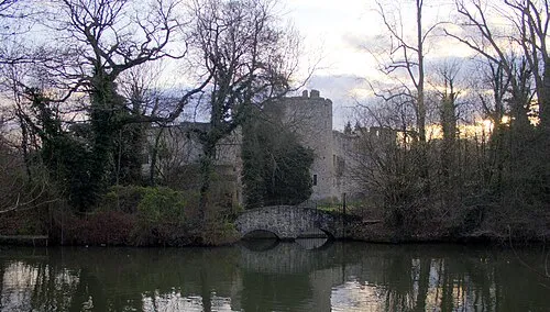 Allington Castle Historic site, Maidstone6.3 km NW
-
United Reform Church Attraction, Maidstone4.4 km NW
-
Sutton Valence Castle Historic site, Sutton Valence4.8 km S
-
Godards Castle Historic site, Thurnham4.8 km N
Sources & licences
Data last updated: