Kingston upon Hull
Located in England, United Kingdom Coordinates: 53°45′00″ N 0°20′00″ W
- Population
- 275,401
- 275.4K
- Elevation
- 5 m
- above sea level
- Local time
- UTC+00:00
- Europe/London · UTC+00:00
- Places inside
- 35
- listed under Kingston upon Hull
About Kingston upon Hull
Kingston upon Hull is a district. Location: England, United Kingdom. Population: 275,401.
In comparison
- 19 sights and natural places within 10 km Hull Castle, Hull Minster
- Listed here: Neighbourhood: 22, Village: 4, Landmark: 3, City: 2
Places in Kingston upon Hull
35 places-
Hull City314K
-
Saint Andrews Quay City100
-
Anlaby Village
-
Anlaby Common Neighbourhood
-
Anlaby Park Neighbourhood
-
Boothferry Park Landmark
-
Bransholme Neighbourhood
-
Dairycoates Neighbourhood
-
Drypool Neighbourhood
-
East Ella Neighbourhood
-
East Mount Mountain
-
Garrison Side Neighbourhood
-
Gipsyville Neighbourhood
-
Great Field Neighbourhood
-
Grey Legs Neighbourhood
-
Hull Castle Historic site
-
Hull Minster Attraction
-
Inglemire Neighbourhood
-
KC Stadium Landmark
-
Kingston upon Hull Landmark
-
Kingswood Neighbourhood
-
Marfleet Village
-
Midmeredales Neighbourhood
-
Mile House Neighbourhood
-
Newland Neighbourhood
-
Sculcoates Neighbourhood
-
South Field Mountain
-
Stepney Neighbourhood
-
Stoneferry Neighbourhood
-
Summergangs Neighbourhood
-
Sutton Ings Neighbourhood
-
Sutton on Hull Village
-
Trinity Court Village
-
West Carr Neighbourhood
-
Wilmington Neighbourhood
Nearby attractions & nature
Everything nearby-
River Hull River, England2.9 km SE
-
Neatgangs Lane Mediumwave Transmitter Landmark, Goxhill4.9 km S
-
Swine Castle Hill Historic site, Wawne5.5 km NE
-
Swan Hill Historic site, Bilton6.5 km NE
-
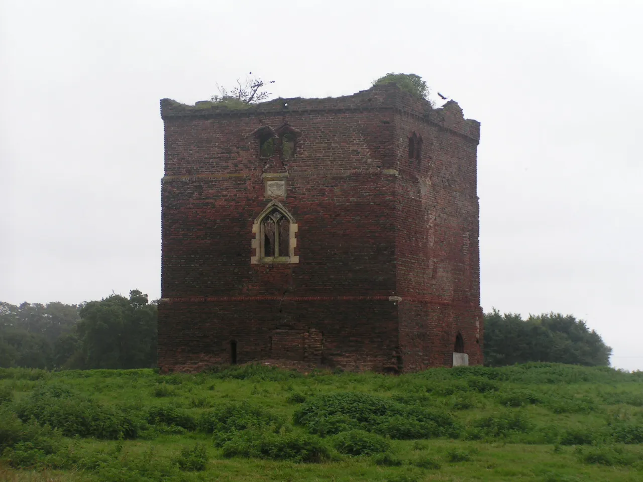 Paull Holme Tower Landmark, Paull9.7 km SE
-
Baynard Castle Historic site, Cottingham6.9 km NW
Sources & licences
Data last updated: