Belle Isle
Located in Leeds, England Coordinates: 53°45′53″ N 1°31′49″ W
- Elevation
- 77 m
- above sea level
- Local time
- UTC+00:00
- Europe/London · UTC+00:00
About Belle Isle
Belle Isle is a village. Location: Leeds, England. Elevation: 77 m.
Belle Isle is a large suburb 3 miles (5 km) south of Leeds city centre, West Yorkshire, England. It is bounded to the north and east by the M621 motorway. The district lies in the LS10 Leeds postcode area. Belle Isle is part of the Middleton Park ward of Leeds City Council and Leeds South parliamentary constituency.
Read more on Wikipedia Text: Wikipedia contributors · CC BY-SA 4.0 · shortened
In comparison
- Nearest larger town: Holbeck, 3 km NW
- 17 sights and natural places within 10 km Elland Road, Rothwell Castle
Airports nearest to Belle Isle
- Leeds Bradford Airport (LBA) Leeds, West Yorkshire 14 km
- Manchester Airport (MAN) Manchester, Greater Manchester 68 km
- Humberside Airport (HUY) Grimsby, Lincolnshire 81 km
Straight-line distance; airports with scheduled flights only. Source: OurAirports (public domain).
Nearby attractions & nature
Everything nearby-
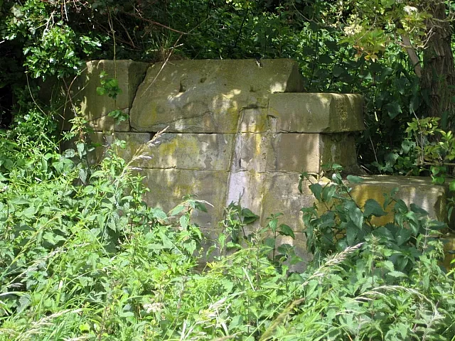 Rothwell Castle Historic site, Leeds3.6 km SE
-
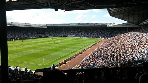 Elland Road Landmark, Morley3.1 km NW
-
Christ Church Attraction, Leeds4.6 km SE
-
Morley Mediumwave Transmitter Landmark, Morley4.2 km SW
-
Springhead Park Natural site, England4.3 km SE
-
Temple Newsam Park Natural site, England4.7 km NE
Sources & licences
Data last updated: · 2 independent sources