Cookridge
Located in Leeds, England Coordinates: 53°51′24″ N 1°37′26″ W
- Elevation
- 192 m
- above sea level
- Local time
- UTC+00:00
- Europe/London · UTC+00:00
About Cookridge
Cookridge is a village. Location: Leeds, England. Elevation: 192 m.
Cookridge is a suburb of north-west Leeds, West Yorkshire, England, north of the Leeds Outer Ring Road. In 1715 Ralph Thoresby described it as a village four miles from Leeds and three from Otley, dating from 1540. A mixture of suburban and council owned properties on the border with Holt Park and Tinshill, the area sits in both the Adel & Wharfedale ward of Leeds City Council and the Leeds North West parliamentary constituency. Before 2004, the area sat within Cookridge ward, named after the area.
Read more on Wikipedia Text: Wikipedia contributors · CC BY-SA 4.0 · shortened
In comparison
- Nearest larger town: Horsforth, 2 km SW
- 32 sights and natural places within 10 km Tinshill Moor, Tinshill BT Tower
Nearby attractions & nature
Everything nearby-
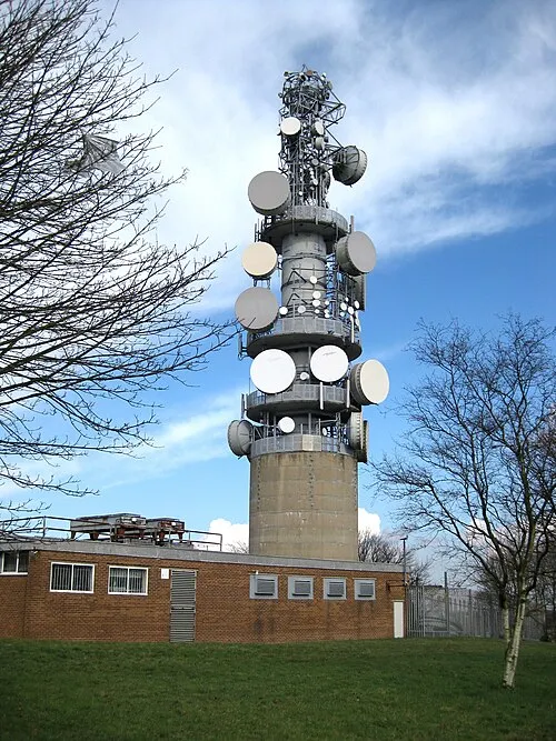 Tinshill BT Tower Landmark, Leeds0.8 km E
-
Tinshill Moor Mountain, Leeds0.7 km E
-
Billing Hill Mountain, Leeds3.1 km W
-
Spring Wood Natural site, Leeds1.7 km S
-
Daffy Wood Natural site, Leeds1.8 km S
-
Clayton Wood Natural site, Leeds2 km SE
Sources & licences
Data last updated: · 2 independent sources