Farsley
Located in Leeds, England Coordinates: 53°48′30″ N 1°40′18″ W
- Population
- 22,594
- 22.6K
- Elevation
- 130 m
- above sea level
- Local time
- UTC+00:00
- Europe/London · UTC+00:00
About Farsley
Farsley is a village. Location: Leeds, England. Population: 22,594. Elevation: 130 m.
Farsley is a village in Leeds, West Yorkshire, England, 6 miles (9.7 km) west of Leeds city centre and 4 miles (6.4 km) east of Bradford near Pudsey. Before 1974, Farsley was part of the Borough of Pudsey. Before 1937 it had its own urban district council. The ward of Calverley and Farsley also includes the estate of Swinnow and some northern parts of Pudsey. During the industrial revolution, Farsley was a centre for wool processing as there were a number of mills in the area.
Read more on Wikipedia Text: Wikipedia contributors · CC BY-SA 4.0 · shortened
In comparison
- No. 5 of 14 places in Leeds by population
- Nearest larger town: Pudsey, 2 km SE
- 27 sights and natural places within 10 km Owlcotes Hill, Beecroft Hill
Nearby attractions & nature
Everything nearby-
Owlcotes Hill Mountain, Leeds1.2 km SW
-
Beecroft Hill Mountain, Leeds2.1 km E
-
Billing Hill Mountain, Leeds5.1 km N
-
Tyersal Mediumwave Transmitter Landmark, Drighlington3.2 km SW
-
Kirkstall Abbey Historic site, Leeds4.5 km E
-
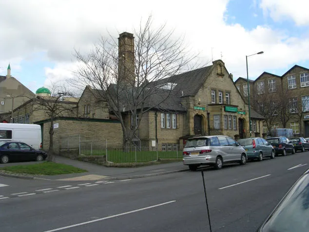 Bait-ul-Hamd Attraction, Bradford4.2 km SW
Sources & licences
Data last updated: · 2 independent sources