Harehills
Located in Leeds, England Coordinates: 53°48′45″ N 1°31′00″ W
- Elevation
- 70 m
- above sea level
- Local time
- UTC+00:00
- Europe/London · UTC+00:00
About Harehills
Harehills is a village. Location: Leeds, England. Elevation: 70 m.
Harehills is an inner-city area of east Leeds, West Yorkshire, England. It is about 1 mile (1.6 km) northeast of Leeds city centre. Harehills is between the A58 (towards Wetherby) and the A64 (towards York). It sits in the Gipton & Harehills ward of Leeds City Council and the Leeds East parliamentary constituency, between Burmantofts and Gipton, and adjacent to Chapeltown.
Read more on Wikipedia Text: Wikipedia contributors · CC BY-SA 4.0 · shortened
In comparison
- Nearest larger town: Roundhay, 2 km N
- 23 sights and natural places within 10 km Chapel Allerton Park, Temple Newsam Park
Nearby attractions & nature
Everything nearby-
Chapel Allerton Park Natural site, Leeds2.5 km NW
-
Kirkstall Abbey Historic site, Leeds6 km W
-
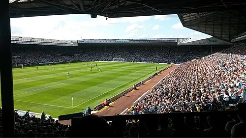 Elland Road Landmark, Morley5.3 km SW
-
Temple Newsam Park Natural site, England4.6 km SE
-
Meanwood Beck River, England5 km NW
-
Billing Hill Mountain, Leeds11 km NW
Sources & licences
Data last updated: · 2 independent sources