Seacroft
Located in Leeds, England Coordinates: 53°49′05″ N 1°27′24″ W
- Population
- 14,246
- 14.2K
- Elevation
- 95 m
- above sea level
- Local time
- UTC+00:00
- Europe/London · UTC+00:00
About Seacroft
Seacroft is a village. Location: Leeds, England. Population: 14,246. Elevation: 95 m.
Seacroft is an outer-city suburb/township consisting mainly of council estate housing covering an extensive area of east Leeds, West Yorkshire, England. It lies in the LS14 Leeds postcode area, around 4 miles (6.4 km) east of Leeds city centre. It sits in the Killingbeck & Seacroft ward of Leeds City Council and Leeds East parliamentary constituency. The population of the corresponding Leeds City Ward was nearly 18,000 in 2001 and fell to 14,426 in 2011.
Read more on Wikipedia Text: Wikipedia contributors · CC BY-SA 4.0 · shortened
In comparison
- No. 11 of 14 places in Leeds by population
- Nearest larger town: Roundhay, 4 km W
- 15 sights and natural places within 10 km Temple Newsam Park, Saw Wood
Nearby attractions & nature
Everything nearby-
Barwick in Elmet Historic site, Barwick in Elmet and Scholes4.2 km E
-
Temple Newsam Park Natural site, England3.9 km S
-
Saw Wood Natural site, England4.1 km NE
-
Chapel Allerton Park Natural site, Leeds5.4 km W
-
Garforth Cliff Mountain, Leeds7 km SE
-
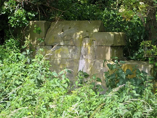 Rothwell Castle Historic site, Leeds7.9 km S
Sources & licences
Data last updated: · 2 independent sources