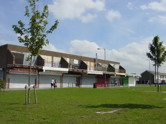
Netherley
Located in Liverpool, England Coordinates: 53°23′27″ N 2°50′22″ W
- Population
- 8,068
- 8.1K
- Elevation
- 16 m
- above sea level
- Local time
- UTC+00:00
- Europe/London · UTC+00:00
About Netherley
Netherley is a town. Location: Liverpool, England. Population: 8,068. Elevation: 16 m.
Netherley is an area in the city of Liverpool, Merseyside, England. It is bordered by Belle Vale and situated near to Huyton, Tarbock and Halewood. Netherley is a leafy suburb of Liverpool, Merseyside, England. It is in the south of the city surrounded mostly by farmland and countryside, Liverpool City Council ward of Belle Vale. At the 2001 Census, Netherley had a population of 8,068 (3,703 males, 4,365 females).
Read more on Wikipedia Text: Wikipedia contributors · CC BY-SA 4.0 · shortened
In comparison
- No. 20 of 27 places in Liverpool by population
- Nearest larger town: Belle Vale, 1 km W
- 13 sights and natural places within 10 km Woolton Hill, Knowsley Park
Nearby attractions & nature
Everything nearby-
Woolton Hill Mountain, Liverpool2.6 km SW
-
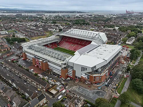 Anfield Landmark, Liverpool9.2 km NW
-
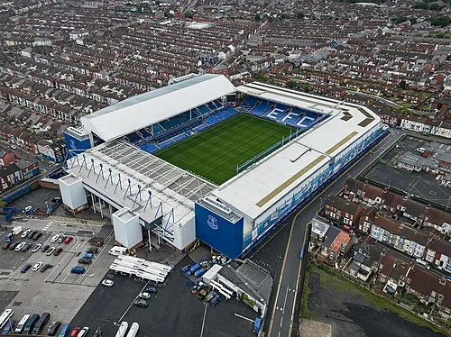 Goodison Park Landmark, Liverpool10 km NW
-
Knowsley Park Mountain, Knowsley6 km N
-
West Derby Castle Historic site, Liverpool6.7 km NW
-
Hag Brow Mountain, Knowsley6.1 km N
-
Sefton Park Natural site, England6.3 km W
-
Hutchinson's Hill Mountain, Halton7.1 km SE
Other cities and towns in Liverpool
-
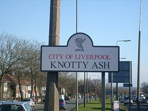 Knotty Ash Town, Liverpool4.7 km NW
-
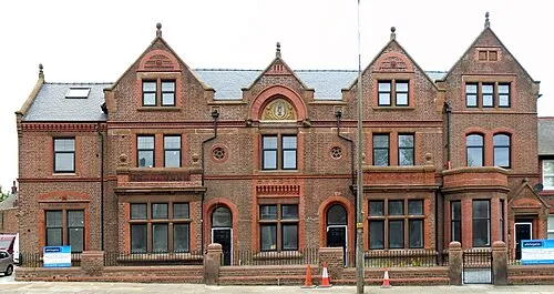 Old Swan Town, Liverpool5.3 km NW
-
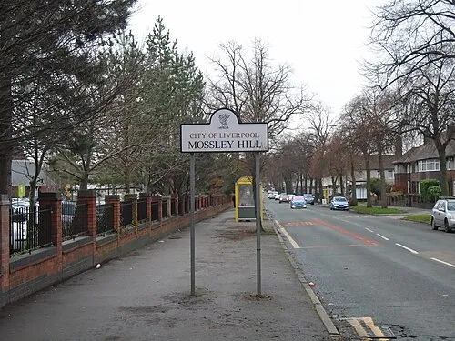 Mossley Hill Town, Liverpool5.1 km W
-
 Speke Town, Liverpool5.6 km S
-
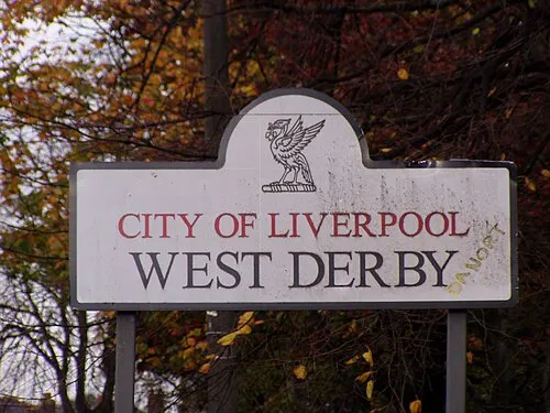 West Derby Town, Liverpool6.6 km NW
-
Childwall Town, Liverpool3.9 km W
Sources & licences
Data last updated: · 2 independent sources