Lovel Wood
Located in England, United Kingdom Coordinates: 52°04′00″ N 0°58′00″ W
- Elevation
- 112 m
- above sea level
- Local time
- UTC+00:00
- Europe/London · UTC+00:00
About Lovel Wood
Lovel Wood is a natural site. Location: England, United Kingdom.
In comparison
- 11 sights and natural places within 10 km Monkey Island, Moor End Castle
Nearest towns and villages
-
Lillingstone Lovell Village, Aylesbury Vale0.5 km SE
-
South Northamptonshire District Municipality, West Northamptonshire6.7 km NW
-
Lillingstone Dayrell Village, Lillingstone Lovell1 km SE
-
Whittlebury Village, Whittlebury3.2 km NW
-
Whittlebury Village, South Northamptonshire District2.5 km N
-
Lillingstone Dayrell with Luffield Abbey Village, Aylesbury Vale2.5 km W
Nearby attractions & nature
Everything nearby-
Monkey Island Island, Stowe5.3 km SW
-
Moor End Castle Historic site, Yardley Gobion5.5 km NE
-
Alderton Ringwork Historic site, Alderton6.4 km NE
-
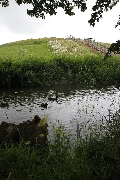 Bury Mount Historic site, Towcester7.6 km N
-
Shenley Wood Natural site, Shenley Church End13 km SE
-
Stanton Wood Natural site, Bradwell14 km E
-
Linford Wood Natural site, Stantonbury14 km E
-
Buckingham Castle Historic site, Buckingham7.8 km S
More nature in United Kingdom
-
Howe Park Wood Natural site, Shenley Brook End14 km SE
-
South Loughton Valley park Natural site, Loughton14 km E
-
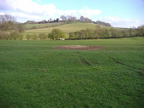 Arbury Hill Mountain, Catesby24 km NW
-
Campbell Park Natural site, England16 km E
-
Mursley Mound Mountain, Mursley17 km SE
-
Bletchley Park Natural site, West Bletchley17 km SE
Sources & licences
Data last updated: