Sundon Park
Located in Luton, England Coordinates: 51°55′05″ N 0°28′11″ W
- Population
- 7,585
- 7.6K
- Elevation
- 126 m
- above sea level
- Local time
- UTC+00:00
- Europe/London · UTC+00:00
About Sundon Park
Sundon Park is a village. Location: Luton, England. Population: 7,585. Elevation: 126 m.
Sundon Park is a suburb of north Luton, in the Luton district, in the ceremonial county of Bedfordshire, England. The area is roughly bounded by the edge of Luton to the north, Leagrave Park to the south, the Midland Main Line to the west, and Spinney Woods and the footpath from the woods to the edge of town to the east. The name is taken from the nearby villages of Upper Sundon and Lower Sundon, and the estate was originally built as a self-contained community serving the SKF ball bearing factory.
Read more on Wikipedia Text: Wikipedia contributors · CC BY-SA 4.0 · shortened
In comparison
- No. 3 of 3 places in Luton by population
- Nearest larger town: Dunstable, 5 km SW
- 66 sights and natural places within 10 km Sundon Church, Lewsey Farm Mediumwave Transmitter
Nearby attractions & nature
Everything nearby-
Lewsey Farm Mediumwave Transmitter Landmark, Luton1.7 km SW
-
Sundon Church Attraction, Sundon1.4 km N
-
Watergutter Hole Natural site, England4.2 km NE
-
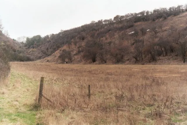 Smithcombe Valley Natural site, England4.6 km NE
-
Reservoir Lake, England2.9 km N
-
St Margaret's church Attraction, Streatley3.5 km NE
Sources & licences
Data last updated: · 2 independent sources