Rusholme
Located in Manchester, England Coordinates: 53°27′15″ N 2°13′29″ W
- Population
- 13,643
- 13.6K
- Elevation
- 42 m
- above sea level
- Local time
- UTC+00:00
- Europe/London · UTC+00:00
About Rusholme
Rusholme is a neighbourhood. Location: Manchester, England. Population: 13,643.
Rusholme () is an area of Manchester, in Greater Manchester, England, two miles (three kilometres) south of the city centre. The population of the ward at the 2011 census was 13,643. Rusholme is bounded by Chorlton-on-Medlock to the north, Victoria Park and Longsight to the east, Fallowfield to the south and Moss Side to the west. It has a large student population, with several student halls and many students renting terraced houses, and suburban houses towards Victoria Park.
Read more on Wikipedia Text: Wikipedia contributors · CC BY-SA 4.0 · shortened
In comparison
- No. 10 of 16 places in Manchester by population
- Nearest larger town: Moss Side, 1 km W
- 37 sights and natural places within 10 km Holy Trinity Armenian Church, Darul Amaan Mosque
Nearby attractions & nature
Everything nearby-
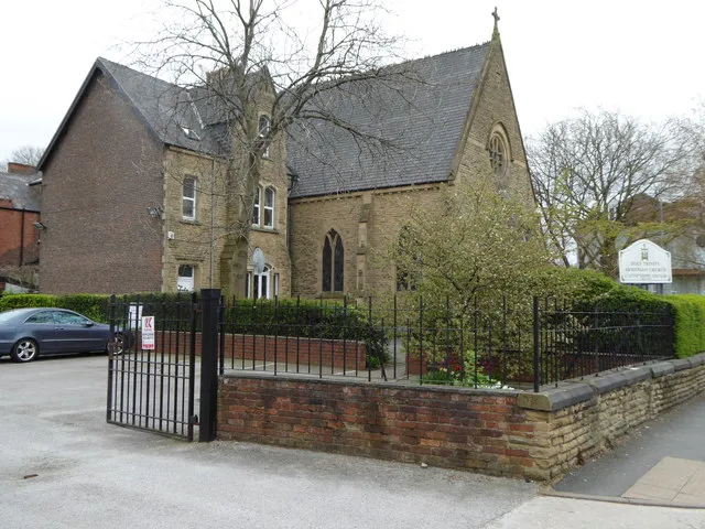 Holy Trinity Armenian Church Attraction, Manchester0.9 km N
-
Halume Park Natural site, Manchester2.3 km NW
-
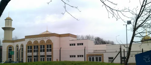 Darul Amaan Mosque Attraction, Manchester1.3 km NW
-
Manchester Museum (oxford road) Museum, Manchester1.5 km NW
-
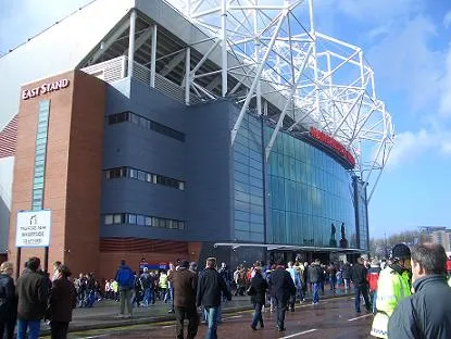 Old Trafford Landmark, Trafford4.5 km W
-
Manchester Central Landmark, Manchester2.9 km NW
Sources & licences
Data last updated: · 2 independent sources