Locking Castle
Located in Locking, North Somerset Coordinates: 51°20′36″ N 2°54′53″ W
- Local time
- UTC+00:00
- Europe/London · UTC+00:00
- Elevation
- 16 m
- above sea level
About Locking Castle
Locking Castle is a historic site. Location: Locking, North Somerset.
Locking Castle was a castle that once stood on Carberry Hill near the site of RAF Locking in Locking in the North Somerset district of Somerset, England. It has been scheduled as an ancient monument. It was a motte and bailey on Carberry Hill. Excavations in 1902 identified the remains of a small stone chamber surrounded by a ditch. Fragments of pottery and the remains of a sword were also found. A coin from the period of Edward IV was also uncovered.
Read more on Wikipedia Text: Wikipedia contributors · CC BY-SA 4.0 · shortened
In comparison
- 29 sights and natural places within 10 km Castle Batch, Banwell Hill
Nearby attractions & nature
Everything nearby-
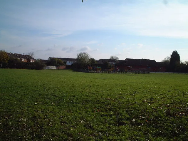 Castle Batch Historic site, Weston-Super-Mare2.8 km N
-
Banwell Hill Mountain, Banwell3.2 km SE
-
Bleadon Hill Mountain, Loxton3.8 km S
-
Worlebury Hill Mountain, Weston-Super-Mare4 km NW
-
Hamwood Park Natural site, Loxton4 km S
-
Winscombe Attraction, Winscombe and Sandford6.4 km SE
-
Compton Bishop Attraction, Compton Bishop6.4 km SE
-
Banwell Plain Mountain, Banwell4.9 km E
Nearest towns and villages
-
Locking Village, Locking1.1 km S
-
Weston-super-Mare City, Weston-Super-Mare4.3 km W
-
Locking Parklands Neighbourhood, Locking1 km SE
-
Banwell Village, Banwell3.6 km SE
Sources & licences
Data last updated: · 2 independent sources