Lunds Fell
Located in High Abbotside, Richmondshire District Coordinates: 54°22′00″ N 2°18′00″ W
- Elevation
- 642 m
- above sea level
- Local time
- UTC+00:00
- Europe/London · UTC+00:00
- Airports
- MME Teesside International Airport59 km
- LBA Leeds Bradford Airport70 km
About Lunds Fell
Lunds Fell is a mountain. Location: High Abbotside, Richmondshire District. Elevation: 642 m.
Lunds Fell, also known as Sails (the name of its summit), is a hill in the Yorkshire Dales National Park, in North Yorkshire, England. Lunds Fell is located 5 miles (8 km) north-west of Hawes and straddles the divide between the Ure Valley to the south and the Eden Valley to the north. Its summit is 666 metres (2,185 ft), and Hugh Seat, to the north is 689 metres (2,260 ft) with the county line between Cumbria and North Yorkshire running between the two peaks.
Source: Wikipedia · CC BY-SA 4.0
Photos of Lunds Fell
-
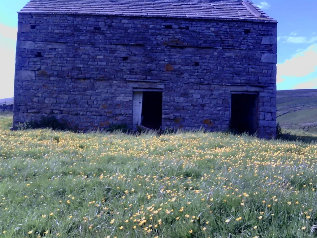
Grisdale Roger Templeman · CC BY-SA 2.0 -
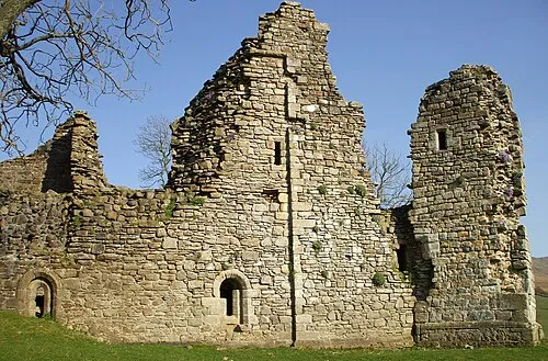
Pendragon Castle Matthew Hatton · CC BY-SA 2.0


Climate of Lunds Fell
This month · November
A wet month
Day 6° · Night 1° · Rain 173 mm
- Hottest month
- July (day 16°)
- Coldest month
- January (night -2°)
- Wettest month
- December (177 mm)
- Driest month
- May (95 mm)
Bars: average monthly low and high temperature. Below: precipitation. Monthly averages for 1970–2000 at about 18 km resolution, adjusted for elevation. Highlighted months are mild and relatively dry. Source: WorldClim 2.1 (CC BY 4.0).
Show values as a table
| Month | Jan | Feb | Mar | Apr | May | Jun | Jul | Aug | Sep | Oct | Nov | Dec |
|---|---|---|---|---|---|---|---|---|---|---|---|---|
| Average high (°C) | 3° | 3° | 5° | 8° | 12° | 14° | 16° | 16° | 13° | 9° | 6° | 4° |
| Average low (°C) | -2° | -2° | -1° | 0° | 3° | 6° | 8° | 8° | 6° | 3° | 1° | -1° |
| Precipitation (mm) | 176 | 122 | 142 | 97 | 95 | 96 | 106 | 127 | 140 | 164 | 173 | 177 |
How to get to Lunds Fell
The nearest airport is Teesside International Airport (MME), 59 km to the east as the crow flies. For international flights: Leeds Bradford Airport (LBA) (70 km). The nearest large city is Burnley, 63 km to the south.
Airports
- Teesside International Airport (MME) Darlington, Durham 59 kmeast
- Leeds Bradford Airport (LBA) Leeds, West Yorkshire 70 kmsoutheast
- Newcastle International Airport (NCL) Newcastle upon Tyne, Tyne and Wear 84 kmnortheast
Nearby large cities
- Burnley Population: 149.4K 63 kmsouth
- Blackburn Population: 146.5K 70 kmsouth
- Preston Population: 313.3K 72 kmsouth
- Middlesbrough Population: 142.7K 73 kmeast
- Bradford Population: 366.2K 73 kmsoutheast
Straight-line distances; road distances are longer. Airport data: OurAirports.
Day trips from Lunds Fell
Within 100 km: 931 historic and cultural sites, 1,820 natural sites, 321 lakes, rivers and coasts.
0–25 km192 places
- Semer Water Lake 16 kmSE
- Wild Boar Fell Mountain 5 kmW
- Whernside Mountain 17 kmSW
- Pen-y-ghent Mountain 24 kmS
25–60 km1,280 places
- Great Britain Island 45 kmSE
- High Moor Mountain 57 kmW
- The Island Island 44 kmE
- Tuft Rock Island 41 kmW
60–100 km1,600 places
- Ainsdale Beach Beach 98 kmSW
- St Anne's Beach Beach 84 kmSW
- Roanhead Beach Beach 66 kmW
- St. Bees Beach Seafront Beach 86 kmW
Straight-line distances.
Nearest towns and villages
-
 Garsdale Head Village, Garsdale5.2 km S
-
Cotterdale Village, High Abbotside4 km SE
-
Aisgill Village, Mallerstang3.4 km W
-
Mallerstang Village, Westmorland and Furness4.4 km NW
-
 Outhgill Village, Mallerstang5.1 km NW
-
Hawes Village, Hawes9.7 km SE
Nearby attractions & nature
Everything nearby-
Sails Mountain, High Abbotside0.3 km SE
-
Hugh Seat Mountain, Mallerstang2.3 km N
-
Archy Styrigg Mountain, Mallerstang3.5 km N
-
Grisdale Natural site, England4.9 km SW
-
Swarth Fell Mountain, Garsdale5 km W
-
Mallerstang Mountain, Mallerstang4.6 km NW
-
Great Shunner Fell Mountain, High Abbotside4.3 km E
-
High Seat Mountain, Muker4.4 km N
Sources & licences
Data last updated: · 2 independent sources