White Mossy Hill
Located in Muker, Richmondshire District Coordinates: 54°26′35″ N 2°15′55″ W
- Elevation
- 660 m
- above sea level
- Local time
- UTC+00:00
- Europe/London · UTC+00:00
- Airports
- MME Teesside International Airport55 km
- LBA Leeds Bradford Airport75 km
About White Mossy Hill
White Mossy Hill is a mountain. Location: Muker, Richmondshire District. Elevation: 660 m. The nearest airport is Teesside International Airport (55 km). Nearby sights include Nine Standards Rigg and Brownber Head.
Photos of White Mossy Hill
-
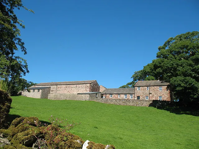
Hartley Castle Stephen Craven · CC BY-SA 2.0 -
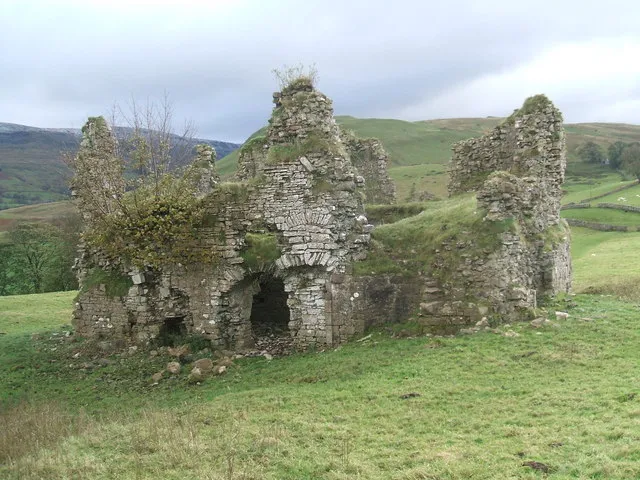
Lammerside Castle David Brown · CC BY-SA 2.0 -
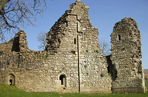
Pendragon Castle Matthew Hatton · CC BY-SA 2.0


Climate of White Mossy Hill
This month · November
A wet month
Day 6° · Night 0° · Rain 173 mm
- Hottest month
- July (day 16°)
- Coldest month
- January (night -2°)
- Wettest month
- December (177 mm)
- Driest month
- May (95 mm)
Bars: average monthly low and high temperature. Below: precipitation. Monthly averages for 1970–2000 at about 18 km resolution, adjusted for elevation. Highlighted months are mild and relatively dry. Source: WorldClim 2.1 (CC BY 4.0).
Show values as a table
| Month | Jan | Feb | Mar | Apr | May | Jun | Jul | Aug | Sep | Oct | Nov | Dec |
|---|---|---|---|---|---|---|---|---|---|---|---|---|
| Average high (°C) | 3° | 3° | 5° | 8° | 11° | 14° | 16° | 16° | 13° | 9° | 6° | 4° |
| Average low (°C) | -2° | -2° | -1° | 0° | 3° | 6° | 8° | 8° | 6° | 3° | 0° | -1° |
| Precipitation (mm) | 176 | 122 | 142 | 97 | 95 | 96 | 106 | 127 | 140 | 164 | 173 | 177 |
How to get to White Mossy Hill
The nearest airport is Teesside International Airport (MME), 55 km to the east as the crow flies. For international flights: Leeds Bradford Airport (LBA) (75 km). The nearest large city is Middlesbrough, 68 km to the east.
Airports
- Teesside International Airport (MME) Darlington, Durham 55 kmeast
- Leeds Bradford Airport (LBA) Leeds, West Yorkshire 75 kmsoutheast
- Newcastle International Airport (NCL) Newcastle upon Tyne, Tyne and Wear 76 kmnortheast
Nearby large cities
- Middlesbrough Population: 142.7K 68 kmeast
- Burnley Population: 149.4K 72 kmsouth
- Newcastle upon Tyne Population: 300.1K 72 kmnortheast
- Sunderland Population: 170.1K 77 kmnortheast
- Blackburn Population: 146.5K 78 kmsouth
Straight-line distances; road distances are longer. Airport data: OurAirports.
Day trips from White Mossy Hill
Within 100 km: 918 historic and cultural sites, 1,859 natural sites, 336 lakes, rivers and coasts.
0–25 km186 places
- Semer Water Lake 22 kmSE
- Grassholme Reservoir Lake 20 kmNE
- Selset Reservoir Lake 18 kmNE
- Wild Boar Fell Mountain 10 kmSW
25–60 km1,253 places
- Great Britain Island 52 kmS
- The Island Island 46 kmSE
- Tuft Rock Island 44 kmW
- Bird Island Island 50 kmS
60–100 km1,674 places
- High Moor Mountain 62 kmSW
- St Anne's Beach Beach 92 kmSW
- Roanhead Beach Beach 72 kmSW
- St. Bees Beach Seafront Beach 87 kmW
Straight-line distances.
Nearest towns and villages

Nearby attractions & nature
Everything nearby-
Nine Standards Rigg Mountain, Winton0.8 km NW
-
Brownber Head Mountain, Winton2.2 km NE
-
Nateby Common Mountain, Nateby2.6 km W
-
High Out Wood Mountain, Hartley4.1 km NW
-
Robert's Seat Mountain, Muker4.3 km E
-
Long Rigg Mountain, Winton4.4 km NW
-
High Seat Mountain, Muker4.9 km SW
-
Mallerstang Mountain, Mallerstang6.6 km SW
Sources & licences
Data last updated: