Dally Castle
Located in Greystead, Northumberland Coordinates: 55°09′12″ N 2°21′17″ W
- Local time
- UTC+00:00
- Europe/London · UTC+00:00
- Elevation
- 136 m
- above sea level
About Dally Castle
Dally Castle is a historic site. Location: Greystead, Northumberland.
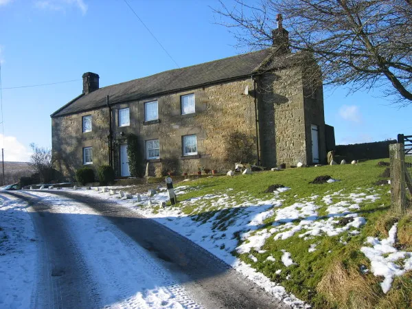
Dally Castle is a ruined 13th-century stone motte-and-bailey fortress in Northumberland, and one of the first hall houses in Northumberland. It lies 5 miles (8.0 km) west of Bellingham Castle, and 4 miles (6.4 km) west of Bellingham on the Chirdon Burn, a tributary of the North Tyne. Dally Castle House was built in the 18th century next to the castle. Across the road lies a small flour mill used to grind wheat during the Napoleonic War.
Read more on Wikipedia Text: Wikipedia contributors · CC BY-SA 4.0 · shortened
At a glance
- Heritage designation
- Grade I listed building
Source: Wikidata
In comparison
- 20 sights and natural places within 10 km Tarset Burn, Chirdon Burn
Nearby attractions & nature
Everything nearby-
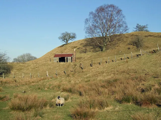 Tarset Castle Historic site, Tarset1.7 km NE
-
Chirdon Pele Landmark, Greystead2 km SW
-
Low Thorneyburn Pele Landmark, Tarset2.4 km NW
-
Hill House Tower Landmark, Tarset2.9 km NW
-
Chirdon Burn River, England1.4 km E
-
Charlton Tower Landmark, Bellingham3.5 km E
-
Low Stokoe Tower Landmark, Falstone3.9 km NW
-
Hesleyside Tower Landmark, Bellingham4.2 km E
Nearest towns and villages
-
Tarset Village, Tarset1.6 km NE
-
Lanehead Village, Tarset2.2 km NE
-
Bellingham Village, Bellingham6.5 km E
-
Donkleywood Village, Falstone3.5 km NW
Sources & licences
Data last updated: · 2 independent sources