Wall
Located in Northumberland, England Coordinates: 55°01′35″ N 2°04′37″ W
- Elevation
- 173 m
- above sea level
- Local time
- UTC+00:00
- Europe/London · UTC+00:00
- Places inside
- 9
- listed under Wall
About Wall
Wall is a municipality. Location: Northumberland, England. Elevation: 173 m.
In comparison
- Nearest larger town: Humshaugh, 4 km W
- 51 sights and natural places within 10 km Errington Tower, Cocklaw Tower
- Listed here: Village: 4, Landmark: 3, Historic site: 2
Places in Wall
9 places-
Chesters Roman bridge Historic site
-
Cocklaw Village
-
Cocklaw Tower Landmark
-
Errington Tower Landmark
-
Fallowfield Village
-
Low Brunton Village
-
Stagshaw Mediumwave Transmitter Landmark
-
Wall Village
-
Wall Historic site
Nearby attractions & nature
Everything nearby-
Whittington Fell Mountain, Corbridge2.5 km SE
-
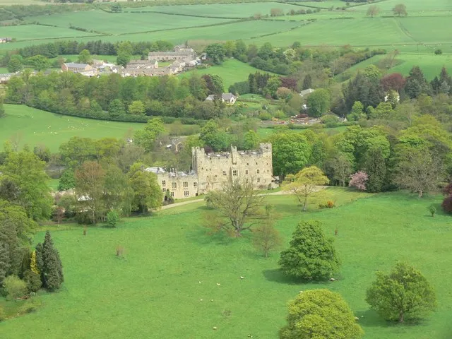 Haughton Castle Historic site, Humshaugh4.2 km NW
-
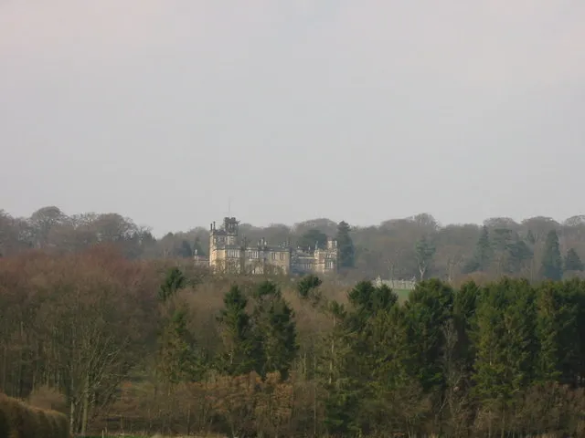 Beaufront Castle Historic site, Sandhoe4.4 km S
-
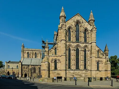 Hexham Abbey Attraction, Hexham6.3 km S
-
Chesters Roman fort Historic site, Humshaugh4 km W
-
Walwick Grange Landmark, Warden4.5 km W
-
Duns Moor Mountain, Whittington4.9 km NE
-
Walwick Historic site, Humshaugh4.9 km W
Sources & licences
Data last updated: