River Adur
Located in England, United Kingdom Coordinates: 50°49′00″ N 0°16′00″ W
- Local time
- UTC+00:00
- Europe/London · UTC+00:00
About River Adur
River Adur is a river. Location: England, United Kingdom.
In comparison
- 20 sights and natural places within 10 km The Marlipins Museum, St Mary de Hora Shoreham
Nearest towns and villages
-
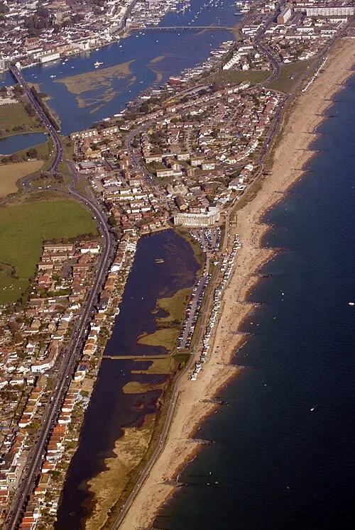 Shoreham-by-Sea Town, Lancing2 km N
-
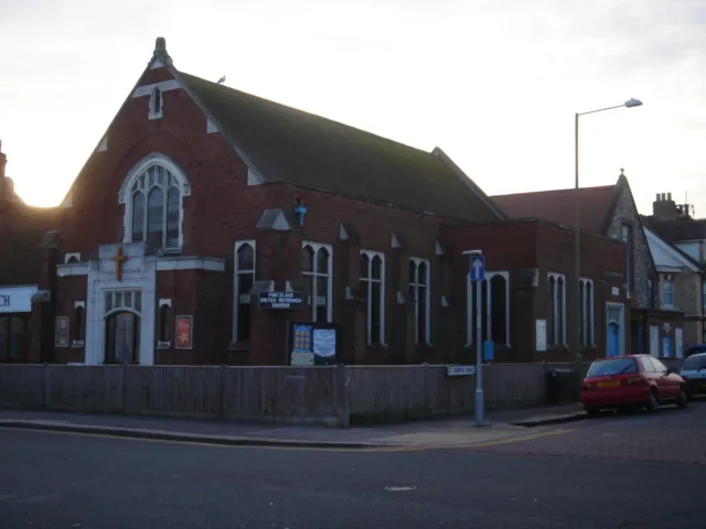 Portslade Town, Brighton and Hove4.6 km NE
-
Lancing Town, Lancing4.2 km W
-
Adur District Municipality, West Sussex6 km NW
-
Shoreham Beach Neighbourhood, Adur District1.5 km N
-
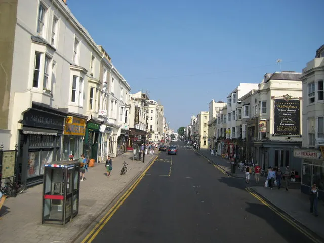 Hove City, Brighton and Hove7.2 km E
Nearby attractions & nature
Everything nearby-
Allen Island Island, Lancing2.1 km NW
-
The Marlipins Museum Museum, Adur District1.9 km NW
-
St Mary de Hora Shoreham Attraction, Adur District1.9 km N
-
Southwick Mediumwave Transmitter ( 1323 kHz) Landmark, Adur District2.1 km NE
-
Southwick Mediumwave Transmitter Landmark, Adur District2.1 km NE
-
St Nicholas Church Shoreham Attraction, Adur District3 km NW
-
Old Toll Bridge Shoreham Landmark, Adur District3.1 km NW
-
Thundersbarrow Hill Mountain, Adur District5.2 km N
Sources & licences
Data last updated: