River Stour
Located in England, United Kingdom Coordinates: 52°20′00″ N 2°17′00″ W
- Elevation
- 23 m
- above sea level
- Local time
- UTC+00:00
- Europe/London · UTC+00:00
About River Stour
River Stour is a river. Location: England, United Kingdom.
In comparison
- 17 sights and natural places within 10 km Hartlebury Castle, Astley Hill
Nearest towns and villages
-
Stourport-on-Severn Town, Stourport-on-Severn0.7 km N
-
The Walshes Neighbourhood, Stourport-on-Severn0.5 km SW
-
Stourport-on-Severn Village, Wyre Forest District1.1 km N
-
Areley Kings Neighbourhood, Stourport-on-Severn0.6 km SW
-
Lickhill Neighbourhood, Stourport-on-Severn1.7 km NW
-
Astley and Dunley Village, Malvern Hills District2.3 km SW
Nearby attractions & nature
Everything nearby-
Astley Hill Mountain, Astley and Dunley3.2 km SW
-
Bishops Wood Hill Mountain, Ombersley3.7 km SE
-
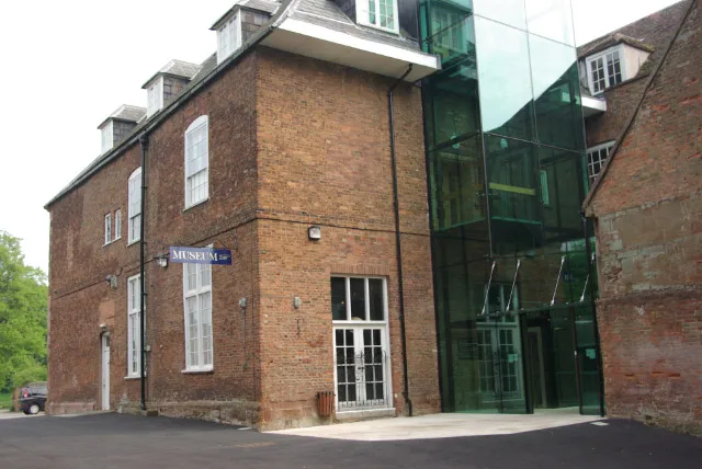 Hartlebury Castle Historic site, Hartlebury2.9 km E
-
Wyre Forest Natural site, England7.2 km NW
-
Abberley Hill Mountain, Abberley6.6 km SW
-
Walsgrove Hill Mountain, Shelsley Beauchamp8.1 km SW
-
Olivers Mount Historic site, Shrawley5.2 km S
-
Woodbury Hill Mountain, Great Witley8.6 km SW
Sources & licences
Data last updated: