Rotherham
Located in England, United Kingdom Coordinates: 53°25′00″ N 1°15′00″ W
- Population
- 276,595
- 276.6K
- Elevation
- 108 m
- above sea level
- Local time
- UTC+00:00
- Europe/London · UTC+00:00
- Places inside
- 69
- listed under Rotherham
About Rotherham
Rotherham is a district. Location: England, United Kingdom. Population: 276,595.
In comparison
- 15 sights and natural places within 10 km Carr Hill, Foredoles Head
- Listed here: Municipality: 29, Neighbourhood: 29, Village: 6, Mountain: 3
Airports nearest to Rotherham
- Leeds Bradford Airport (LBA) Leeds, West Yorkshire 57 km
- Humberside Airport (HUY) Grimsby, Lincolnshire 62 km
- East Midlands Airport (EMA) Nottingham, Leicestershire 65 km
Straight-line distance; airports with scheduled flights only. Source: OurAirports (public domain).
Places in Rotherham
69 places-
Treeton Municipality
-
Ulley Municipality
-
Upper Haugh Neighbourhood
-
Wales Municipality
-
Wentworth Municipality
-
Whiston Municipality
-
Wickersley Municipality
-
Wingfield Neighbourhood
-
Woodsetts Municipality
Nature and heritage in Rotherham
-
Laughton en le Morthen Castle Hill Historic site, Laughton-en-le-Morthen
-
Hoober Stand Mountain, Brampton Bierlow
-
Carr Hill Mountain, Laughton-en-le-Morthen
-
Castle Hill Mountain, Laughton-en-le-Morthen
-
Fan Field Mountain, North and South Anston
-
Fir Hill - Harthill Field Mountain, Harthill with Woodall
Nearby attractions & nature
Everything nearby-
Foredoles Head Mountain, Braithwell2.5 km NE
-
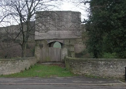 Tickhill Castle Historic site, Tickhill9.5 km E
-
River Rother River, England8 km W
-
 Don Valley Stadium Landmark, Sheffield12 km W
-
Conisbrough Castle Historic site, Doncaster7.6 km N
-
River Dearne River, England9.5 km N
Sources & licences
Data last updated: