Ryhall
Located in Rutland, England Coordinates: 52°41′23″ N 0°28′27″ W
- Elevation
- 40 m
- above sea level
- Local time
- UTC+00:00
- Europe/London · UTC+00:00
- Places inside
- 2
- listed under Ryhall
About Ryhall
Ryhall is a municipality. Location: Rutland, England. Elevation: 40 m.
In comparison
- Nearest larger town: Ryhall, 1 km SE
- 9 sights and natural places within 10 km Essendine Castle, Woodhead Castle
- Listed here: Village: 2
Places in Ryhall
2 places-
Ryhall Village1.5K
-
Belmesthorpe Village
Nearby attractions & nature
Everything nearby-
Essendine Castle Historic site, Essendine2.2 km NE
-
Woodhead Castle Historic site, Great Casterton3.5 km W
-
Holywell Castle Dyke Historic site, Careby Aunby and Holywell3.8 km NW
-
St George's Church Attraction, Stamford4.2 km S
-
Stamford Castle Historic site, Stamford4.3 km S
-
Burghley House Historic site, St. Martin's Without5.5 km S
-
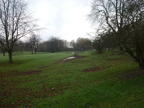 Bourne Castle Historic site, Bourne11 km NE
-
Maxey Castle Historic site, Maxey10 km E
Sources & licences
Data last updated: