Blundellsands
Located in Hightown, Sefton Coordinates: 53°29′21″ N 3°02′47″ W
- Population
- 11,514
- 11.5K
- Elevation
- 14 m
- above sea level
- Local time
- UTC+00:00
- Europe/London · UTC+00:00
About Blundellsands
Blundellsands is a village. Location: Hightown, Sefton. Population: 11,514. Elevation: 14 m.
Blundellsands is an area of Crosby in the ceremonial county of Merseyside, England and in the historic county of Lancashire. The area was created as a suburb for wealthy businessmen from Liverpool by the Blundell family of Crosby Hall in the middle of the 19th century. It is part of the Metropolitan Borough of Sefton, and a Sefton council electoral ward. At the 2001 census the population was recorded as 11,514. This area was not measured in the 2011 Census. For current figures see Blundellsands (Ward).
Read more on Wikipedia Text: Wikipedia contributors · CC BY-SA 4.0 · shortened
In comparison
- Nearest larger town: Bootle, 3 km SE
- 24 sights and natural places within 10 km River Mersey, North Wall Light (historical)
Nearby attractions & nature
Everything nearby-
River Mersey River, England4.5 km S
-
Gorse Hill Mountain, Wirral6.1 km S
-
North Wall Light (historical) Landmark, Sefton4.9 km SE
-
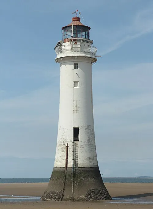 Perch Rock Lighthouse Landmark, Wirral5 km S
-
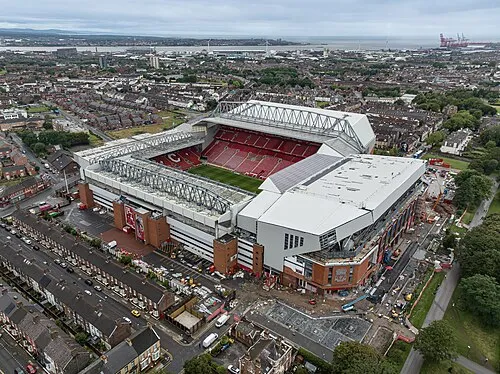 Anfield Landmark, Liverpool8.6 km SE
-
New Brighton Tower (historical) Landmark, Wirral5.9 km S
Sources & licences
Data last updated: · 2 independent sources