Neepsend
Located in Bradfield, Sheffield Coordinates: 53°23′44″ N 1°29′08″ W
- Elevation
- 56 m
- above sea level
- Local time
- UTC+00:00
- Europe/London · UTC+00:00
About Neepsend
Neepsend is a neighbourhood. Location: Bradfield, Sheffield.
Neepsend is a suburb of the city of Sheffield, located just 1 mile (1.6 km) north-west of the city centre. The main area of Neepsend covers the flood plain of the River Don from Lady's Bridge at the Wicker up to Hillfoot Bridge. The suburb falls within Sheffield's City Ward. The adjacent district of Parkwood Springs is often regarded as part of the suburb.
Read more on Wikipedia Text: Wikipedia contributors · CC BY-SA 4.0 · shortened
In comparison
- Nearest larger town: Burngreave, 2 km E
- 26 sights and natural places within 10 km River Loxley, Parkwood Springs
Nearby attractions & nature
Everything nearby-
River Loxley River, England0.5 km N
-
River Sheaf River, England1.8 km SE
-
Parkwood Springs Mountain, Sheffield1 km NE
-
River Rivelin River, England1.1 km NW
-
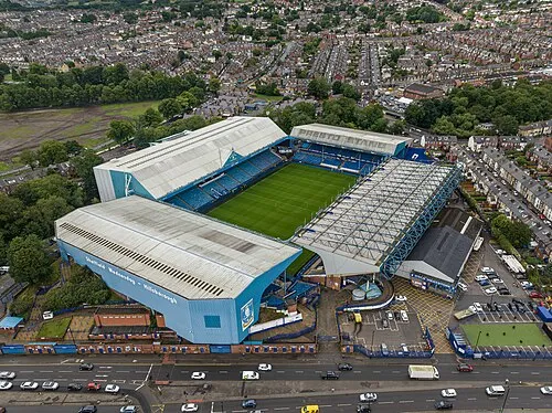 Hillsborough Stadium Landmark, Bradfield2 km NW
-
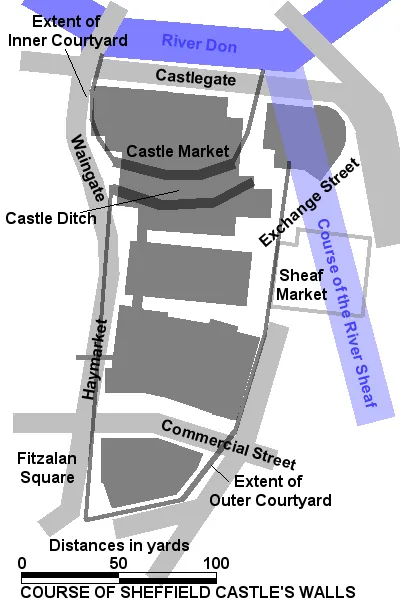 Sheffield Castle Historic site, Sheffield1.9 km SE
Sources & licences
Data last updated: · 2 independent sources